Ábær
Ábær (Icelandic pronunciation: [ˈauːˌpaiːr̥]) is a deserted farm in Iceland, located in the municipality of Skagafjörður. A small church was opened in 1922. The farm became deserted in 1950.[1]
Ábær | |
|---|---|
Village | |
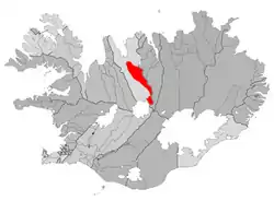 Location of the Municipality of Akrahreppur | |
 Ábær Location of Ábær in Iceland | |
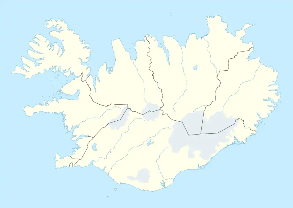
| Coordinates: 65°18′N 18°52′W | |
| Country | |
| Constituency | Northwest Constituency |
| Region | Northwestern Region |
| Municipality | Skagafjörður |
| Time zone | UTC+0 (GMT) |
References
- "Ábær". Iceland Road Guide. Retrieved 4 November 2022.
This article is issued from Wikipedia. The text is licensed under Creative Commons - Attribution - Sharealike. Additional terms may apply for the media files.