Ével
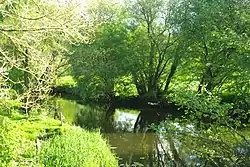
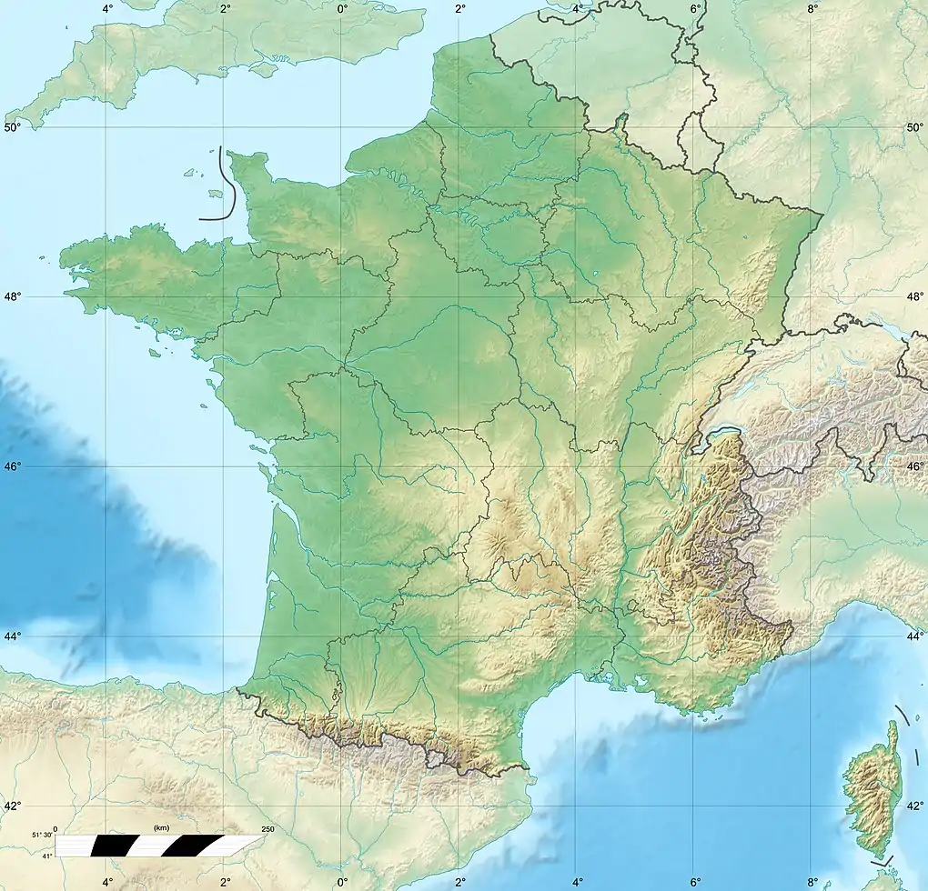
The Ével (French pronunciation: [evɛl]; Breton: Evel) is a 52.4 km (32.6 mi) long river in the Morbihan département, western France.[1] Its source is near la Bottine, a hamlet in Radenac. It flows generally west-southwest. It is a left tributary of the Blavet into which it flows between Baud and Languidic.
| Ével | |
|---|---|
 | |
  | |
| Location | |
| Country | France |
| Physical characteristics | |
| Source | |
| • location | Radenac |
| • coordinates | 47°56′20″N 02°42′33″W |
| • elevation | 105 m (344 ft) |
| Mouth | |
• location | Blavet |
• coordinates | 47°52′58″N 03°06′39″W |
• elevation | 20 m (66 ft) |
| Length | 52.4 km (32.6 mi) |
| Basin size | 350 km2 (140 sq mi) |
| Discharge | |
| • average | 3.29 m3/s (116 cu ft/s) |
| Basin features | |
| Progression | Blavet→ Atlantic Ocean |
Communes along its course
This list is ordered from source to mouth: Radenac, Réguiny, Moréac, Naizin, Remungol, Pluméliau, Guénin, Baud, Camors, Languidic,
References
This article is issued from Wikipedia. The text is licensed under Creative Commons - Attribution - Sharealike. Additional terms may apply for the media files.