Øre, Norway
Øre is a small village area in Gjemnes Municipality in Møre og Romsdal county, Norway. The village is located along the Batnfjorden, about half-way between the villages of Batnfjordsøra and Torvikbukt. Øre Church is located in this village. The village of Øre was the administrative centre of the old Øre Municipality which existed from 1838 until 1965.[2] The village is located along the County Road 666 (Ørvegen road), which runs along the fjord, and the County Road 288 (Skeisdalsvegen road), which runs into the surrounding Skeisdalen valley. The village is wedged in a valley between two mountains (Kammen and Blånebba) and the fjord.
Øre | |
|---|---|
Village | |
 Øre church | |
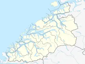
 Øre Location in Møre og Romsdal  Øre Øre (Norway) | |
| Coordinates: 62.9200°N 7.7542°E | |
| Country | Norway |
| Region | Western Norway |
| County | Møre og Romsdal |
| District | Nordmøre |
| Municipality | Gjemnes Municipality |
| Elevation | 2 m (7 ft) |
| Time zone | UTC+01:00 (CET) |
| • Summer (DST) | UTC+02:00 (CEST) |
| Post Code | 6631 Batnfjordsøra |
References
- "Øre, Gjemnes (Møre og Romsdal)". yr.no. Retrieved 2019-05-27.
- Thorsnæs, Geir, ed. (2019-03-07). "Øre". Store norske leksikon (in Norwegian). Kunnskapsforlaget. Retrieved 2019-05-27.
This article is issued from Wikipedia. The text is licensed under Creative Commons - Attribution - Sharealike. Additional terms may apply for the media files.