Ćorkovići
Ćorkovići (Ћорковићи) is populated place in Bosnia and Herzegovina, Kotor Varoš Municipality in Republika Srpska. In 1991, in this village lived 175 inhabitants, and 2013. : 101.[1]
Ćorkovići – Ћорковићи | |
|---|---|
Village | |
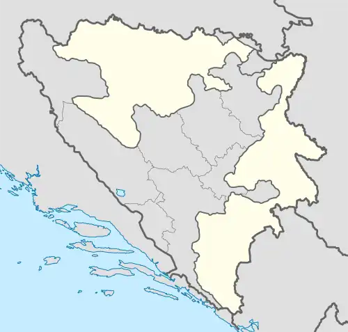
 Ćorkovići – Ћорковићи Location in Bosnia and Herzegovina  Ćorkovići – Ћорковићи Ćorkovići – Ћорковићи (Bosnia and Herzegovina) | |
| Coordinates: 44°25′17″N 17°32′48″E | |
| Country | Bosnia and Herzegovina |
| Entity | Republika Srpska |
| Municipality | Kotor Varoš |
| Highest elevation | 930 m (3,050 ft) |
| Lowest elevation | 910 m (2,990 ft) |
| Population (1991) | |
| • Total | 175 |
| Demonym | Ćorkovićani |
| Time zone | Central European |
| Area code | +387 (051) |
| Website | www |
Geography
Ćorkovići is situated at the steep, south-western slopes Petrovo polje (Peter's fields), at an altitude of about 910-930m. Below the village flows Ćorkovac, left tributary Vrbanja river. It is traversed by the local road connecting regional road R-440: Kotor Varoš – Obodnik – Šiprage – Kruševo Brdo communicating Skender Vakuf – Imljani – Korićani – Vitovlje – Turbe through Ilomska. Its distance from Šiprage is about 8 km, and from the Kotor Varoš about 40 km.[2][3][4][5]
Population
| Nationality | 1991. | 2013. |
| Srbi | 175 | 101 |
| Others | 0 | 0 |
| Total | 175 | 101 |
References
- Nacionalni sastav stanovništva - Rezultati za Republiku po opštinama i naseljenim mjestima 1991. Sarajevo: Izdanje Državnog zavoda za statistiku Republike Bosne i Hercegovine.
- "Karta BiH - Karta Bosne i Hercegovine". www.kartabih.com.
- Vojnogeografski institut, Izd. (1955): Travnik (List karte 1:100.000, Izohipse na 20 m). Vojnogeografski institut, Beograd.
- Spahić M. et al. (2000): Bosna i Hercegovina (1:250.000). Izdavačko preduzeće „Sejtarija“, Sarajevo.
- Mučibabić B., Ur. (1998): Geografski atlas Bosne i Hercegovine. Geodetski zavod BiH, Sarajevo, ISBN 9958-766-00-0.
This article is issued from Wikipedia. The text is licensed under Creative Commons - Attribution - Sharealike. Additional terms may apply for the media files.