Ōhara, Okayama
Ōhara (大原町, Ōhara-chō) was a town located in Aida District, Okayama Prefecture, Japan.
Ōhara
大原町 | |
|---|---|
Former municipality | |
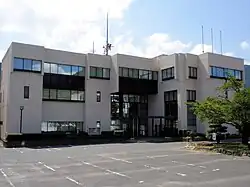 Former Ōhara town hall | |
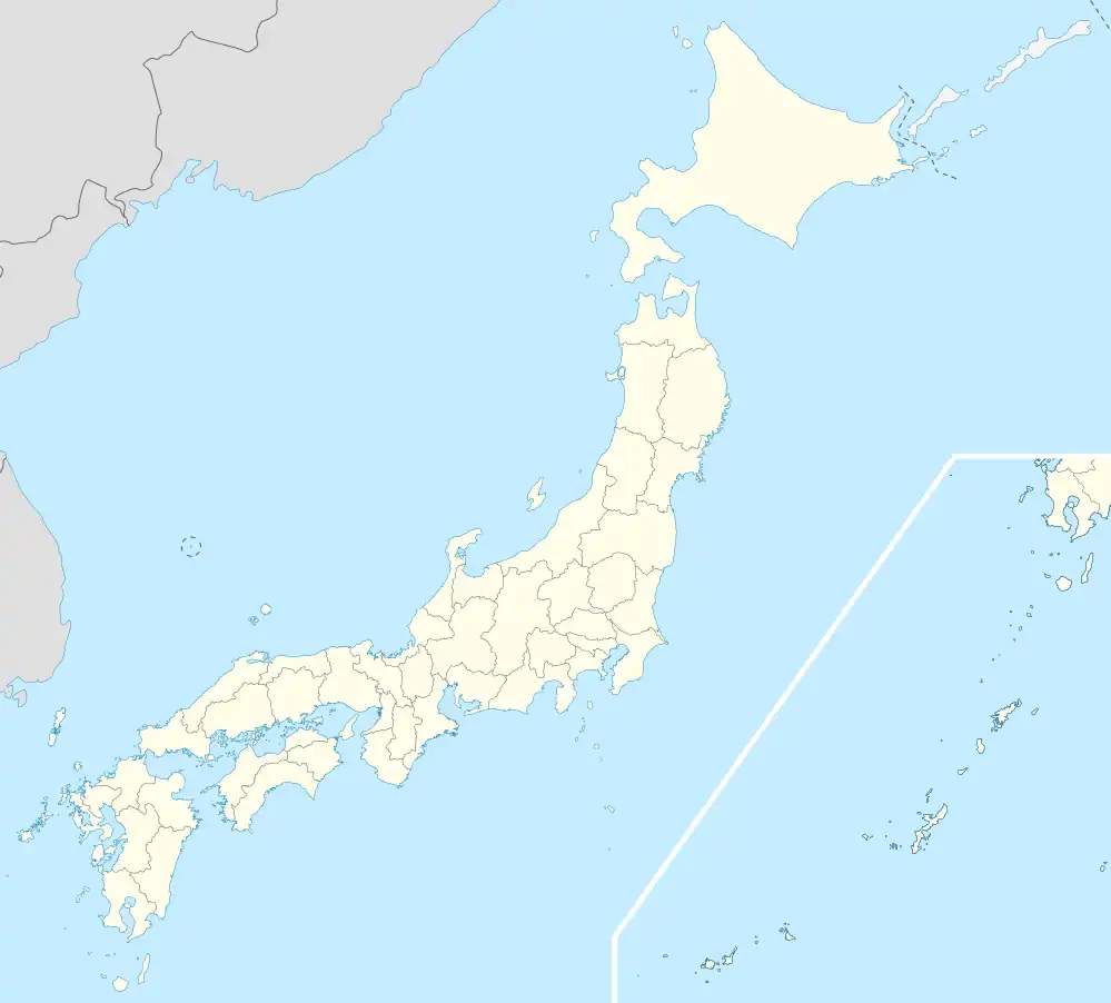 Ōhara Location in Japan | |
| Coordinates: 35°7′14.45″N 134°19′33.9″E | |
| Country | Japan |
| Region | Chūgoku |
| Prefecture | Okayama Prefecture |
| District | Aida |
| Merged | March 31, 2005 (now part of Mimasaka) |
| Area | |
| • Total | 54.48 km2 (21.03 sq mi) |
| Population (2003) | |
| • Total | 4,630 |
| • Density | 84.99/km2 (220.1/sq mi) |
| Time zone | UTC+09:00 (JST) |
| Symbols | |
| Flower | Lilium japonicum |
| Tree | Zelkova serrata |

Central Ōhara
As of 2003, the town had an estimated population of 4,630 and a density of 84.99 persons per km². The total area was 54.48 km².
On March 31, 2005, Ōhara, along with the towns of Mimasaka, Aida and Sakutō, the village of Higashiawakura (all from Aida District), and the town of Katsuta (from Katsuta District), was merged to create the city of Mimasaka.
Geography
Adjoining municipalities
Education
- Ōhara Elementary School
- Ōhara Junior High School
- Okayama Prefectural Ōhara High School (Closure in 2006)
Transportation
Road
- National highways:
- Prefectural roads:
- Okayama Prefectural Route 5 (Sakutō-Ōhara)
- Okayama Prefectural Route 240 (Shimoshō-Sayō)
- Okayama Prefectural Route 357 (Kajinami-Tateishi)
Notable places and events
- Village of Miyamoto Musashi
- Main stone of Miyamoto Musashi Temple
- Miyamoto Musashi's grave next to that of his parents
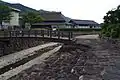
- Ōhara-shuku (Shukuba)
 Village of Miyamoto Musashi
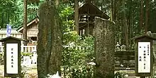 Statue of Miyamoto Musashi
 Ōhara-shuku
References
External links
- Official website of Mimasaka in Japanese
This article is issued from Wikipedia. The text is licensed under Creative Commons - Attribution - Sharealike. Additional terms may apply for the media files.