1780 Java earthquake
The 1780 Java earthquake was a significant event in the history of Indonesia. The magnitude of the earthquake is estimated to be at least 8.5, while other sources usually refer to it with a range of Mw 8.0 to 8.5.[1]
  | |
| Local date | 22 January 1780 |
|---|---|
| Magnitude | 8.0-8.5 Mw |
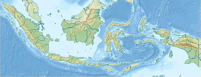
| Epicenter | 8.600°S 105.500°E Java, Dutch East Indies |
| Fault | Java Trench |
| Type | Megathrust |
| Areas affected | Java |
| Max. intensity | VIII (Severe) |
| Casualties | Unknown |
Tectonic Setting
The Java subduction zone has not had any large-magnitude earthquakes in the past 100 to 200 years except for an M8.0–8.5 Java Trench earthquake in 1780, which was the largest historical earthquake in the Java Trench. Recent large earthquakes in other subduction zones have cast doubt on the notion that long-term fault behavior can be inferred by as little as one century of historical earthquake records. The total convergence rate across the Java Trench is about 6 to 7 cm a year, higher than most other major subduction zones in the region.[2]
Earthquake
The earthquake occurred in the Sunda Strait segment of the Java Trench. the magnitude of the earthquake was set as Mw 8.5. although some experts estimate it as Mw 8.0-8.5.[3]
Damage
The earthquake toppled buildings in Bogor, Banten and Batavia. intensity VIII damage was set in the Batavia. 27 warehouses collapsed in the city due to the shaking, No information about the casualties due to limited historical records.[4] An observatory in the city 24 meters high which was built in 1765 was badly damaged and abandoned after the earthquake.[5] The earthquake may have triggered an increase in volcanic activity at Mount Salak and Pangrango.[6]
Future Hazard
The Sunda Strait segment has the potential to trigger a large earthquake with a magnitude of 8.7 or higher. Prolonged inactivity in this section and the lack of historical record that might indicate any major subduction-type earthquakes signals the potential of a megathrust event in the Sunda Strait that can affect southern West Java and Sumatra. If the Sunda Strait, Enggano, and West-Central Java megathrust segments rupture at the same time, their magnitude can reach 9.0 or higher on the Richter scale.[7] The Sunda Strait segment has a high risk of tsunami probability, and seismic activity in the Megathrust Subduction Zone of this segment can cause a major tsunami.[8]
References
- "1780 Java Earthquake". risklayer-explorer. Retrieved 19 March 2023.
- "Java Subduction Zone Earthquake: The Worst Is Yet to Come?". air-worldwide. 23 May 2016. Retrieved 19 March 2023.
- "Sejarah Gempa Megathrust dan Tsunami di Selatan Jawa, Sudah Terjadi Sejak 1780 dari Banyuwangi hingga Jawa Barat". suara.com. 18 January 2022. Retrieved 19 March 2023.
- "Indonesia's Historical Earthquakes Modelled examples for improving the national hazard map". ResearchGate. January 2015. Retrieved 19 March 2023.
- "Jejak Gempa DKI: Hancurkan Istana Daendels; Lenyapkan Observatorium Megah". Kumparan.com. 26 February 2023. Retrieved 19 March 2023.
- "4 Gempa di Jakarta Terbesar Sepanjang Sejarah, Terakhir Sebabkan 27 Orang Terluka". Sindonews. 22 November 2022. Retrieved 19 March 2023.
- "Sunda Strait megathrust segment may trigger 8.7-M quake: BRIN". Antaranews.com. 18 January 2022. Retrieved 19 March 2023.
- "Determination of tsunami run-up and golden time in the megathrust subduction zone of the sunda strait segment". 2021. Retrieved 19 March 2023.