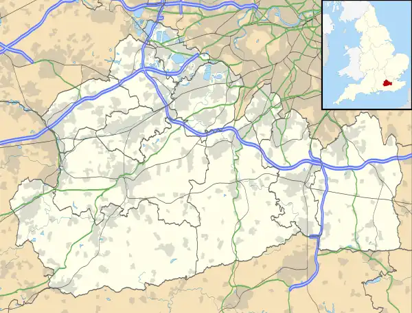
Aaron's Hill, Surrey
Aaron's Hill is a suburb of Godalming in Surrey, England. It is named after the hill it sits on and has a road named after it.[1][2][3] Aaron's Hill is adjacent to another suburb, Ockford ridge and also to Ockford Wood, it is located in the western end of Godalming and slightly further west is the village of Eashing and the A3 trunk road.[1] Aaron's Hill is elevated 76 metres above sea level and is in the Waverley district.[2]
Aaron's Hill
| |
|---|---|
| Suburb | |
 Aaron's Hill Location within Surrey | |
| Population | 338 |
| OS grid reference | SU9543 |
| • London | 30.5 miles (49.1 km) |
| Civil parish |
|
| District | |
| Shire county | |
| Region | |
| Country | England |
| Sovereign state | United Kingdom |
| Post town | GODALMING |
| Postcode district | GU7 |
| Dialling code | 01483 |
| Police | Surrey |
| Fire | Surrey |
| Ambulance | South East Coast |
| UK Parliament | |
Geography
Aaron's Hill, as the name suggests, is on a hill. From the main road, Eashing Lane, there is a single road appropriately named Aaron's hill which leads to the suburb and all its respective housing. From the road there are many dead end streets, loops, and cul-de-sacs where most of the housing is located. Back on the main road there's some of the Amenities that Aaron's Hill has to offer.[1][3][4] Aaron's Hill has a variety of walking trails in its vicinity.[2]
History
The Aarons Hill development was built after the Second World War, on the site of the former Ockford House.[6]
Amenities
Aaron's hill consists of various shops and amenities. On the main street there's the local skatepark as well as a stonework and landscaping facility and a primary school. Further south there's a church and a cemetery although that's officially part of Ockford Ridge. In the new streets and housing estates there's a lot of mixed use development with amenities such as a Real Estate vendor, Beaty supply store and a sportsware store.[3]
Transportation
Aaron's Hill is served by two local bus routes, the 71 and the 72.[7] The 71 runs along Eashing lane only stopping once within the community whilst the 72 runs along some of the smaller streets and serves the local area more.[8] These also run towards Godalming Railway Station which runs trains to Guildford, Woking, London, Haslemere and Portsmouth.
References
- "OS Maps: online mapping and walking, running and cycling routes". osmaps.ordnancesurvey.co.uk. Retrieved 6 March 2022.
- "#GetOutside: do more in the British Outdoors". OS GetOutside. Retrieved 6 March 2022.
- "Aarons Hill · Godalming, UK". Aarons Hill · Godalming, UK. Retrieved 6 March 2022.
- StreetCheck. "Interesting Information for Aarons Hill, Godalming, GU7 2LH Postcode". StreetCheck. Retrieved 6 March 2022.
- "Socio-economic statistics for Aaron's Hill, Surrey". iLiveHere - Britain's worst places to live. 4 April 2011. Retrieved 6 March 2022.
- Coombes, David (1987). Memories of Farncombe and Godalming (2nd ed.). Godalming: Godalming Trust. p. 40.
- Surrey County Council, Woodhatch Place. "Guildford, Godalming and Haslemere bus timetables". www.surreycc.gov.uk. Retrieved 6 March 2022.
- Portrait Timetable, Surrey County Council A4 (29 August 2021). "Surrey County Council A4 Portrait Timetable" (PDF). surreycc.gov.uk. Archived (PDF) from the original on 6 March 2022. Retrieved 6 March 2022.
- "House Prices in Aaron's Hill, Godalming, Surrey, GU7". www.rightmove.co.uk. Retrieved 6 March 2022.
- "Ockford Park, Godalming | Homes In Surrey". Cala Homes. Retrieved 6 March 2022.