Abuta, Hokkaido
Abuta (虻田町, Abuta-chō) was a town in Japan in the Abuta (Iburi) District of Iburi Subprefecture, Hokkaido.
Abuta
虻田町 | |
|---|---|
.svg.png.webp) Flag  Emblem | |
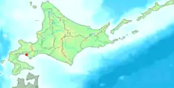 Location of Abuta in Hokkaido (Iburi Subprefecture) | |
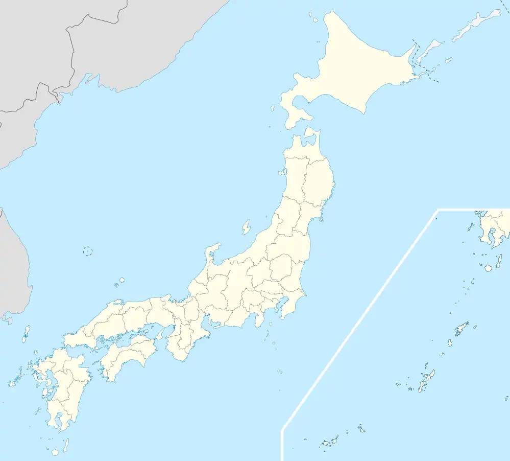 Abuta Location in Japan | |
| Coordinates: 42°33′N 140°45′E | |
| Country | Japan |
| Region | Hokkaido |
| Prefecture | Hokkaido (Kushiro Subprefecture) |
| Now part of Tōyako | March 27, 2006 |
| Area | |
| • Total | 66.85 km2 (25.81 sq mi) |
| Population (2004) | |
| • Total | 7,811 |
| • Density | 116.84/km2 (302.6/sq mi) |
| Time zone | UTC+09:00 (JST) |
| City hall address | 58 Sakaemachi, Abuta-cho, Abuta-gun, Hokkaido 049-5692 |
| Website | web |
| Symbols | |
| Flower | Viola mandshurica |
| Tree | Sorbus commixta |
As of 2004, the town had an estimated population of 7,811 and a density of 116.84 persons per km2. The total area of the town was 66.85 square kilometers (25.81 sq mi).
On March 27, 2006, Abuta was merged with the village of Tōya (also from Abuta (Iburi) District) to create the new town of Tōyako.[1]
References
- "虻田町" [Town of Abuta] (in Japanese). Japan Post Holdings. Retrieved 23 October 2020.
External links
- Tōyako official website (in Japanese)
This article is issued from Wikipedia. The text is licensed under Creative Commons - Attribution - Sharealike. Additional terms may apply for the media files.