Achasan
Achasan (Korean: 아차산) is a hill that sits between the counties of Gwangjin-gu and Guri in South Korea. It has an elevation of 287 m (942 ft).
| Achasan | |
|---|---|
 | |
| Highest point | |
| Elevation | 287 m (942 ft) |
| Coordinates | 37°33′58″N 127°06′9″E |
| Geography | |
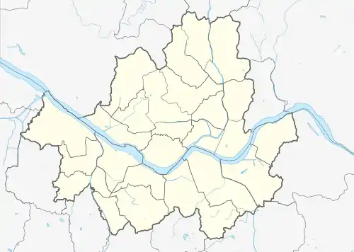
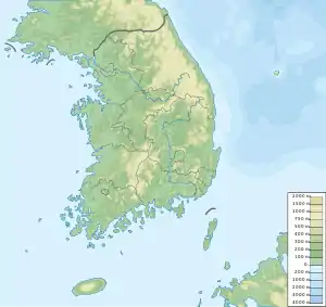
 Achasan  Achasan Achasan (South Korea) | |
| Climbing | |
| Easiest route | from Achasan station |
| Korean name | |
| Hangul | |
| Hanja | |
| Revised Romanization | Achasan |
| McCune–Reischauer | Ach'asan |
There is an extensive system of trails on the Achasan and Yongsan mountains with numerous entrances. People often hike from Yongmasan (용마산) and go to Achasan,[1] or vice versa. Either trail takes about two hours. It has an elevated view of the Han River and of Seoul. At the halfway observation deck and the summit, there is a view of the upper stream of the Hangang River and the cities of Guri and Hanam. From Achasan Fort the Han River is visible almost in its entirety as it flows through Seoul). This is the closest vantage point for viewing the Hangang River from above.[2]
Gallery
 Entrance to one of the mountain's trails (2009)
 Panorama of Achasan and Achasan Fort, overlooking the Han River (2013)
 Seoul as seen from Achasan (2011)
 View of Guri, just east of Seoul (2009)
See also
References
- "Daum map of Achasan/Yongmasan". DAUM.
- "Travel Highlights". Visit Korea. Archived from the original on 23 January 2012. Retrieved 17 November 2012.
External links
- Travel Highlights by Visit Korea Archived 2012-01-23 at the Wayback Machine, 2012
This article is issued from Wikipedia. The text is licensed under Creative Commons - Attribution - Sharealike. Additional terms may apply for the media files.