Agly
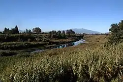
The Agly (French pronunciation: [aɡli] ⓘ; Catalan: Aglí; Occitan: Aglin) is a river located in southern France.With a length of 79.9 km (49.6 mi), it originates in the hills of the Corbières Massif near Camps-sur-l'Agly.[1] The river passes through various towns and villages including Saint-Paul-de-Fenouillet, Estagel, Rivesaltes and Saint-Laurent-de-la-Salanque before it flows into the Mediterranean Sea near Le Barcarès.
| Agly | |
|---|---|
 | |
  | |
| Location | |
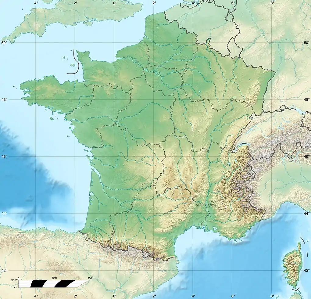
| Country | France |
| Physical characteristics | |
| Source | |
| • location | Corbières Massif |
| Mouth | |
• location | Mediterranean Sea |
• coordinates | 42°46′44″N 3°2′20″E |
| Length | 80 km (50 mi) |
| Basin size | 903 km2 (349 sq mi) |
| Discharge | |
| • average | 6.31 m3/s (223 cu ft/s) |
This article is issued from Wikipedia. The text is licensed under Creative Commons - Attribution - Sharealike. Additional terms may apply for the media files.