Aiguille du Plat de la Selle
The Aiguille du Plat de la Selle, 3,596 m, is a mountain of the Massif des Écrins in the Dauphiné Alps in south-eastern France. Ascents of the mountain are via Saint-Christophe-en-Oisans or the Soreiller hut.[2]
| Aiguille du Plat de la Selle | |
|---|---|
 Aiguille du Plat de la Selle in winter | |
| Highest point | |
| Elevation | 3,596 m (11,798 ft) |
| Prominence | 423 m (1,388 ft)[1] |
| Listing | Alpine mountains above 3000 m |
| Coordinates | 44°57′53″N 06°13′18″E |
| Geography | |
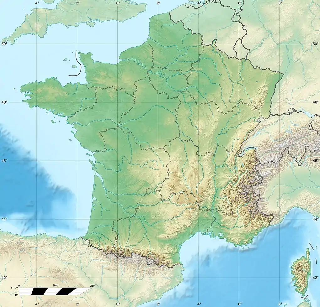 Aiguille du Plat de la Selle France | |
| Location | Rhône-Alpes, France |
| Parent range | Massif fed Écrins, Dauphiné Alps |
| Climbing | |
| First ascent | 28 June 1876 by Henri Cordier, Jakob Anderegg, and Andreas Maurer |
References
- "Aiguille du Plat de la Selle". peakbagging.top. Archived from the original on 6 November 2019. Retrieved 6 November 2019.
- "The Aiguille du Plat de la Selle on SummitPost". summitpost.org. Retrieved 6 November 2019.
This article is issued from Wikipedia. The text is licensed under Creative Commons - Attribution - Sharealike. Additional terms may apply for the media files.