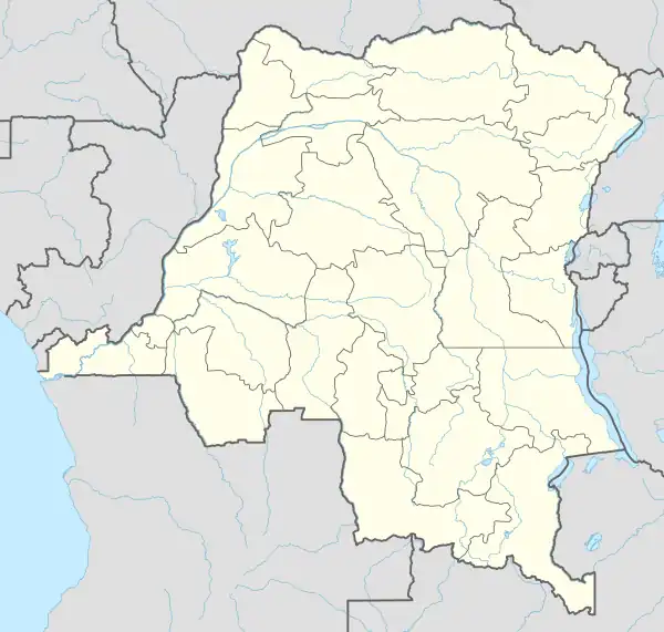
Aketi Territory
Aketi Territory is a territory in the Bas-Uele Province of the Democratic Republic of the Congo. The administrative capital is located at Aketi. The territory borders Bondo Territory to the north, Buta Territory to the east, Basoko Territory to the south, Bumba Territory to the west in Mongala Province and Yakoma Territory in Nord-Ubangi Province to the northwest.[2] Rivers include the Likati River, Zoki River, Maze River, Tinda River, Tshimbi River, Elongo River, Aketi River, Yoko River and Lese River along the southern territorial border.[2]
Aketi Territory | |
|---|---|
 Aketi Territory | |
| Coordinates: 2.7°N 23.8°E | |
| Country | |
| Province | Bas-Uele |
| Area | |
| • Total | 25,415 km2 (9,813 sq mi) |
| Population (2016)[1] | |
| • Total | 150,502 |
| • Density | 5.9/km2 (15/sq mi) |
| Time zone | UTC+2 (CAT) |
| National language | Lingala |
Subdivisions
The territory contains the following chiefdoms/sectors:
- Avuru-Duma
- Avuru-Gatanga
- Bondongola
- Mabinza
- Mobati-Boyele
- Mongwandi
- Gbandi
- Yoko
References
- "Cellule d'Analyses des Indicateurs de Développement". caid.cd (in French). 2020-05-19. Archived from the original on 2020-05-19. Retrieved 2023-03-25.
- "Découpage administratif de la République Démocratique du Congo" (PDF). Référentiel Géographique Commun - RGC. Archived from the original (PDF) on 1 April 2010. Retrieved 31 October 2011.
This article is issued from Wikipedia. The text is licensed under Creative Commons - Attribution - Sharealike. Additional terms may apply for the media files.