Ali Pur Chatta
Ali Pur Chattha is a Tehsil and union council of Alipur Chatha Tehsil, Wazirabad District, Punjab, Pakistan.[2][3] Ali Pur Chattha (formerly Akalgarh) is a tehsil of Wazirabad District in the Gujrat Division of Pakistan. It is situated nearly 35 km away in the west from the district capital Wazirabad District, about 25 to 30 km in North of Hafizabad and 8 km in the south from Rasool Nagar and 15 km Chenab River (Qadirabad Barrage) and almost 26 km of the east of Vanike Tarar.
Alipur Chattha
علی پور چٹھہ Akalgarh | |
|---|---|
Tehsil | |
 Alipur Chatha Tehsil | |
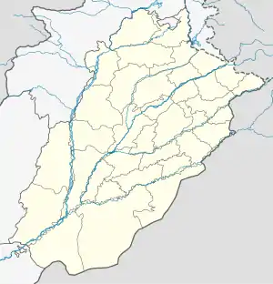
 Alipur Chattha Location of Alipur Chattha  Alipur Chattha Alipur Chattha (Pakistan) | |
| Coordinates: 32.16°N 73.49°E | |
| Country | |
| Province | |
| District | Wazirabad |
| Tehsil | Alipur Chatha |
| Area | |
| • Total | 5 sq mi (12 km2) |
| Population | |
| • Estimate (2023) | 118,989 [1] |
| Time zone | UTC+5 (PST) |
| • Summer (DST) | +5 |
| Postal code type | 52080 |
| Calling code | 055 |
History
In the Ali Pur Chattha area, there are the ruins of the historical city of Akālgarh with the remnants of the Sikh Empire in this area.[4]
The municipality was created in 1867 during colonial rule. At that time, the town lay on the Wazirabad-Lyallpur branch of the North-Western Railway.
Communication
Alipur is connected with Wazirabad via Wazirabad-Alipur Highway and connected with Gujranwala via Kalaskay through Gujranwala-Alipur Highway. The Wazirabad-Faisalabad rail link has a railway station in the city called Alipur Chatta railway station.
References
- "GUJRANWALA BLOCKWISE" (PDF). Pakistan Bureau of Statistics. Retrieved 10 April 2020.
- Location of Akalgarh - Falling Rain Genomics
- Chief Minister looks into the alleged torture of two sisters (at Alipur Chatha) Pakistan Today (newspaper), Published 9 June 2012, Retrieved 1 June 2018
- Bansal, Bobby Singh (1 December 2015). Remnants of the Sikh Empire: Historical Sikh Monuments in India & Pakistan. Hay House, Inc. ISBN 9789384544935.