Anauerapucu
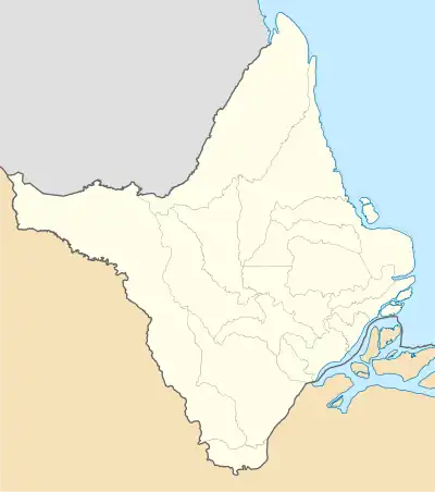
Anauerapucu is a district of the Brazilian municipality of Santana in the state of Amapá. It is located on the northern shore of Vila Nova River, about 10 kilometres west of Santana. The district covers an area of 70 square kilometers, and has an average elevation of 6 meters above the sea level.[1]
Anauerapucu | |
|---|---|
District | |
 Anauerapucu  Anauerapucu | |
| Coordinates: 00°04′02″S 51°15′48″W | |
| Country | |
| State | |
| Municipality | Santana |
| Created in | 2001 |
| Area | |
| • Total | 70 km2 (30 sq mi) |
| Elevation | 6 m (20 ft) |
| Population (2021) | |
| • Total | 810 |
| • Density | 12/km2 (30/sq mi) |
| Postal code | 68925-000 |
Anauerapucu was established as a district in 2001.[2] As of the year 2021, it had a population of 810.[3]
References
- "Anauerapucu topographic map, elevation, terrain". Topographic maps. Retrieved 23 October 2023.
- "Santana History" (PDF). Brazilian Institute of Geography and Statistics. Archived from the original (PDF) on 5 October 2013. Retrieved 23 October 2023.
- "Anauerapucu (Santana, Amapá, Brazil) - Population Statistics, Charts, Map, Location, Weather and Web Information". www.citypopulation.de. Retrieved 23 October 2023.
This article is issued from Wikipedia. The text is licensed under Creative Commons - Attribution - Sharealike. Additional terms may apply for the media files.