Andainette
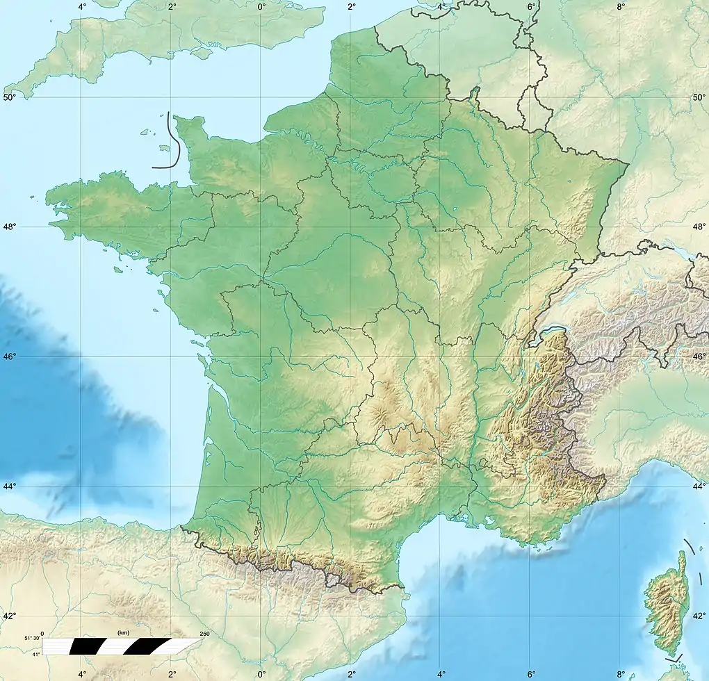
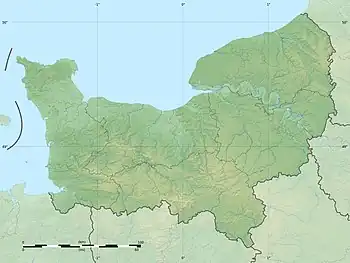
The Andainette is a river in the department of Orne, in the Normandy region, France. It is a left tributary of the Varenne, thus a sub-tributary of the river Loire via the Mayenne and Maine.[1] It is 12.5 km (7.8 mi) long, and has a catchment area of 41 km2 (16 sq mi).[2] The valleys of the Andainette and its tributaries are protected as a Natura 2000 site.[3]
| Andainette | |
|---|---|
  | |
| Native name | l'Andainette (French) |
| Physical characteristics | |
| Source | |
| • location | Champsecret (Orne) |
| • elevation | 250 m |
| Mouth | Varenne |
• location | Pont de Pierre (Orne) |
• coordinates | 48°36′24″N 0°36′36″W |
• elevation | 142 m |
| Length | 12.5 km (7.8 mi) |
| Basin size | 41 km2 (16 sq mi) |
| Basin features | |
| Progression | Varenne→ Mayenne→ Maine→ Loire→ Atlantic Ocean |
References
- Sandre. "Fiche cours d'eau - l'Andainette (M3105800)".
- "L'Andainette et ses affluents" (PDF). orne.gouv.fr (in French). Retrieved 18 December 2020.
- "FR2500119 - Bassin de l'Andainette". inpn.mnhn.fr. Retrieved 18 December 2020.
This article is issued from Wikipedia. The text is licensed under Creative Commons - Attribution - Sharealike. Additional terms may apply for the media files.