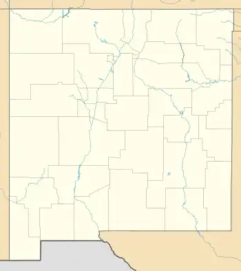
Anzac Village, New Mexico
Anzac Village is a census-designated place (CDP) in Cibola County, New Mexico, United States. The population was 54 at the 2010 census.[3]
Anzac Village, New Mexico | |
|---|---|
 Anzac Village | |
| Coordinates: 35°3′36″N 107°44′31″W | |
| Country | United States |
| State | New Mexico |
| County | Cibola |
| Area | |
| • Total | 0.97 sq mi (2.53 km2) |
| • Land | 0.97 sq mi (2.53 km2) |
| • Water | 0.00 sq mi (0.00 km2) |
| Elevation | 6,320 ft (1,930 m) |
| Population | |
| • Total | 67 |
| • Density | 68.72/sq mi (26.52/km2) |
| Time zone | UTC-7 (Mountain (MST)) |
| • Summer (DST) | UTC-6 (MDT) |
| Area code | 505 |
| FIPS code | 35-03970 |
| GNIS feature ID | 2585647 |
Geography
Anzac Village is located in northern Cibola County at 35°3′36″N 107°44′31″W, in the northwest corner of the Acoma Indian Reservation. It is bordered on the north by Anzac Road in the valley of the Rio San Jose; the road connects with Historic U.S. Route 66 to the east and west.
According to the United States Census Bureau, the CDP has a total area of 0.56 square miles (1.44 km2), all land.[3]
References
- "ArcGIS REST Services Directory". United States Census Bureau. Retrieved October 12, 2022.
- "Census Population API". United States Census Bureau. Retrieved October 12, 2022.
- "Geographic Identifiers: 2010 Demographic Profile Data (G001): Anzac Village CDP, New Mexico". U.S. Census Bureau, American Factfinder. Archived from the original on February 12, 2020. Retrieved October 17, 2014.
- "Census of Population and Housing". Census.gov. Retrieved June 4, 2016.
This article is issued from Wikipedia. The text is licensed under Creative Commons - Attribution - Sharealike. Additional terms may apply for the media files.
