Arendsee (lake)
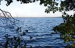
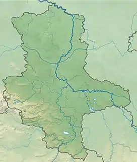
The Lake Arend is a natural lake in the Altmark region, northern Saxony-Anhalt, Germany. It is 23.3 m above sea level, and its area is 5.14 km2, its depth nearly 50 m. It is the largest and deepest natural lake in Saxony-Anhalt.
| Arendsee | |
|---|---|
 | |
 Arendsee  Arendsee | |
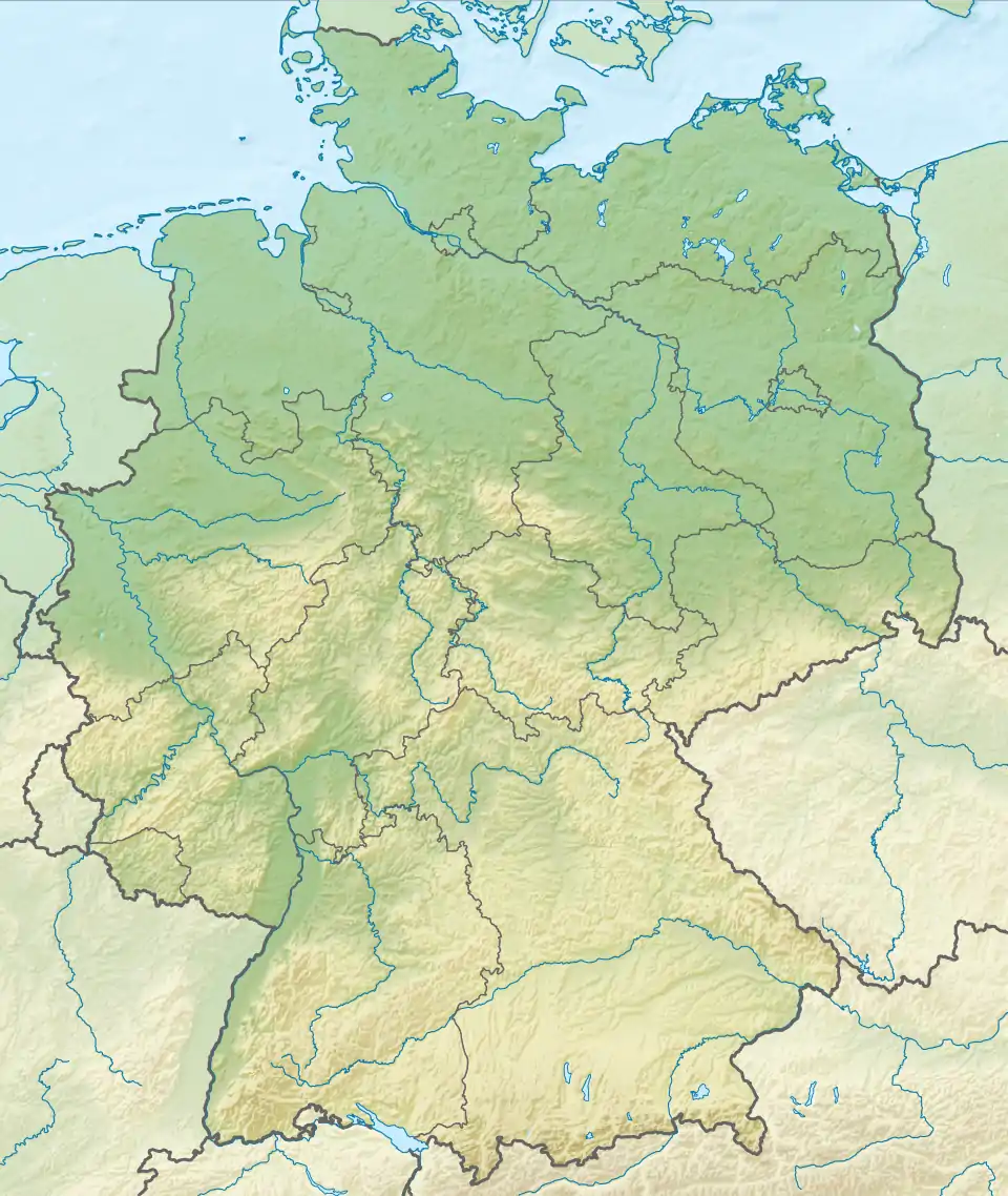
| Location | Saxony-Anhalt |
| Coordinates | 52°53′21″N 11°28′27″E |
| Basin countries | Germany |
| Surface area | 5.14 km2 (1.98 sq mi) |
| Average depth | 29 m (95 ft) |
| Max. depth | 50 m (160 ft) |
| Residence time | 100 years |
| Surface elevation | 23.3 m (76 ft) |
| Settlements | Arendsee, Schrampe |
The lake lies on top of a salt dome and developed by repeated caving-in events that continued into historical time; at the end of the 19th century it was believed to have been created by an earthquake in 815 AD.[1] Hydrologically, the lake is more or less isolated with only a small artificial outflow connecting with the Elbe river via the river Jeetzel. The water body (0.147 bill. m³) only changes every 100 years. The town Arendsee and the municipality Schrampe are situated on its shores.
References
- Brockhaus' Konversations-Lexikon. 14th ed., Leipzig, Berlin and Vienna 1894; Vol. 1, p. 845
External links
 Media related to Arendsee at Wikimedia Commons
- Nixdorf, B.; et al. (2004), "Arendsee", Dokumentation von Zustand und Entwicklung der wichtigsten Seen Deutschlands (in German), Berlin: Umweltbundesamt, p. 4
This article is issued from Wikipedia. The text is licensed under Creative Commons - Attribution - Sharealike. Additional terms may apply for the media files.