Atsuta, Hokkaido
Atsuta (厚田村, Atsuta-mura) was a village located in Atsuta District, Ishikari Subprefecture, Hokkaido, Japan. The village was situated on the west coast of Hokkaido on Route 231 between Ishikari City and Hamamasu.
Atsuta
厚田村 | |
|---|---|
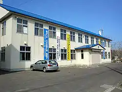 Atsuta Village Hall | |
 Flag .svg.png.webp) Emblem | |
 Location of Atsuta in Hokkaido (Ishikari Subprefecture) | |
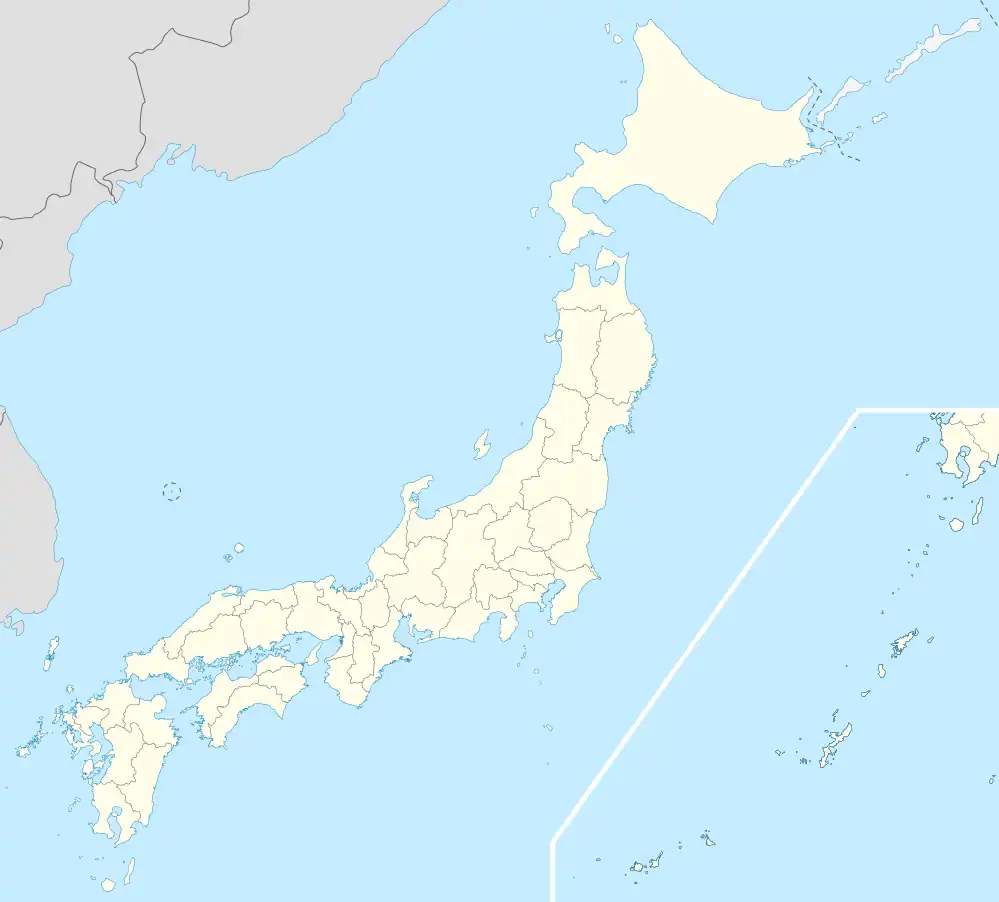 Atsuta Location in Japan | |
| Coordinates: 43°24′N 141°26′E | |
| Country | Japan |
| Region | Hokkaido |
| Prefecture | Hokkaido (Ishikari Subprefecture) |
| Now part of Ishikari | October 1, 2005 |
| Area | |
| • Total | 292.84 km2 (113.07 sq mi) |
| Population (2004) | |
| • Total | 2,592 |
| • Density | 8.85/km2 (22.9/sq mi) |
| Time zone | UTC+09:00 (JST) |
| City hall address | 18 Oaza, Atsuta-mura, Atsuta-gun, Hokkaido 061-3692 |
| Website | web |
| Symbols | |
| Flower | Phlox subulata |
| Tree | Abies sachalinensis |
As of 2004, the village had an estimated population of 2,592 and a density of 8.85 persons per km2. The total area was 292.84 km2.
Fishing and farming are the main industries in this area.
On October 1, 2005, Atsuta, along with the village of Hamamasu (from Hamamasu District) was merged into the expanded city of Ishikari.
Climate
| Climate data for Atsuta, Hokkaido (1991−2020 normals, extremes 1977−present) | |||||||||||||
|---|---|---|---|---|---|---|---|---|---|---|---|---|---|
| Month | Jan | Feb | Mar | Apr | May | Jun | Jul | Aug | Sep | Oct | Nov | Dec | Year |
| Record high °C (°F) | 7.0 (44.6) |
9.6 (49.3) |
14.4 (57.9) |
27.9 (82.2) |
31.8 (89.2) |
31.3 (88.3) |
36.1 (97.0) |
35.2 (95.4) |
32.6 (90.7) |
25.4 (77.7) |
20.8 (69.4) |
13.8 (56.8) |
36.1 (97.0) |
| Average high °C (°F) | −0.5 (31.1) |
0.0 (32.0) |
3.5 (38.3) |
10.3 (50.5) |
16.6 (61.9) |
20.8 (69.4) |
24.5 (76.1) |
25.6 (78.1) |
22.3 (72.1) |
15.8 (60.4) |
8.1 (46.6) |
1.7 (35.1) |
12.4 (54.3) |
| Daily mean °C (°F) | −3.8 (25.2) |
−3.5 (25.7) |
−0.1 (31.8) |
5.4 (41.7) |
11.2 (52.2) |
15.6 (60.1) |
19.6 (67.3) |
20.7 (69.3) |
16.9 (62.4) |
10.7 (51.3) |
4.3 (39.7) |
−1.4 (29.5) |
8.0 (46.4) |
| Average low °C (°F) | −7.9 (17.8) |
−8.0 (17.6) |
−4.4 (24.1) |
0.4 (32.7) |
6.0 (42.8) |
11.5 (52.7) |
16.0 (60.8) |
16.9 (62.4) |
12.1 (53.8) |
5.9 (42.6) |
0.6 (33.1) |
−4.8 (23.4) |
3.7 (38.7) |
| Record low °C (°F) | −24.1 (−11.4) |
−20.7 (−5.3) |
−21.0 (−5.8) |
−9.7 (14.5) |
−2.6 (27.3) |
1.5 (34.7) |
5.5 (41.9) |
7.6 (45.7) |
2.5 (36.5) |
−2.3 (27.9) |
−9.3 (15.3) |
−20.0 (−4.0) |
−24.1 (−11.4) |
| Average precipitation mm (inches) | 88.8 (3.50) |
58.7 (2.31) |
50.2 (1.98) |
51.9 (2.04) |
79.0 (3.11) |
61.7 (2.43) |
117.5 (4.63) |
141.8 (5.58) |
139.0 (5.47) |
121.3 (4.78) |
142.3 (5.60) |
114.7 (4.52) |
1,166.9 (45.94) |
| Average snowfall cm (inches) | 229 (90) |
178 (70) |
107 (42) |
9 (3.5) |
0 (0) |
0 (0) |
0 (0) |
0 (0) |
0 (0) |
0 (0) |
46 (18) |
174 (69) |
728 (287) |
| Average rainy days | 20.1 | 16.0 | 13.2 | 10.5 | 10.7 | 8.5 | 9.8 | 10.6 | 11.9 | 15.2 | 19.1 | 21.4 | 167 |
| Average snowy days | 20.3 | 17.6 | 13.5 | 1.3 | 0 | 0 | 0 | 0 | 0 | 0 | 4.5 | 17.9 | 75.1 |
| Mean monthly sunshine hours | 49.9 | 72.1 | 142.0 | 175.9 | 195.5 | 164.4 | 161.0 | 171.0 | 168.9 | 130.6 | 63.0 | 38.2 | 1,532.5 |
| Source 1: JMA[1] | |||||||||||||
| Source 2: JMA[2] | |||||||||||||
See also
References
- 観測史上1~10位の値(年間を通じての値). JMA. Retrieved February 20, 2022.
- 気象庁 / 平年値(年・月ごとの値). JMA. Retrieved February 20, 2022.
External links
| ||||||||||||
| ||||||||||||
| ||||||||||||
| ||||||||||||
| ||||||||||||
| ||||||||||||
| ||||||||||||
| ||||||||||||
| ||||||||||||
| ||||||||||||
| ||||||||||||
| ||||||||||||
| ||||||||||||
| ||||||||||||
This article is issued from Wikipedia. The text is licensed under Creative Commons - Attribution - Sharealike. Additional terms may apply for the media files.