Auchallater
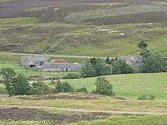
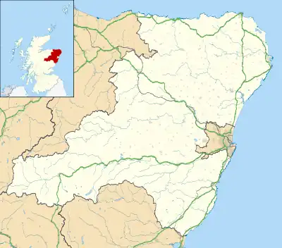
Auchallater is a hamlet in Aberdeenshire, Scotland. It lies along the A93 road, to the south of Braemar.
| Auchallater | |
|---|---|
 Auchallater | |
 Auchallater Location within Aberdeenshire | |
| OS grid reference | NO156883 |
| Council area | |
| Lieutenancy area | |
| Country | Scotland |
| Sovereign state | United Kingdom |
| Post town | BALLATER |
| Postcode district | AB35 |
| Dialling code | 013397 |
| Police | Scotland |
| Fire | Scottish |
| Ambulance | Scottish |
| UK Parliament | |
| Scottish Parliament | |
Geography
In 1872, the farms estates of Auchallater and Baddoch, including Newbigging and Coirenaleirg in the Auchallater estate, covered an area of 20,200 acres (8,175 ha).[1] Geologically, grey garnetiferous schist is found in Auchallataer.[2]
Several streams run nearby, with the confluence of Clunie Water and Callater Burn in the vicinity and just to the west and Millstone Burn to the east.[3] Loch Callater is also near, and is the source of Callater Burn.
Economy
A "little lairdship", Auchallatter is a sheepfarming hamlet.[4][5] Auchallater Farm charge hikers for car parking near the south side of the bridge over Callater Burn.[6]
References
Wikimedia Commons has media related to Auchallater, Aberdeenshire.
- The Country Gentleman's Magazine. 1872. p. 370.
- Transactions - The Royal Society of Edinburgh. The Society. 1966. p. 738.
- Google (11 September 2016). "Auchallater" (Map). Google Maps. Google. Retrieved 11 September 2016.
- Cahill, Barry (1 February 2015). The Thousandth Man: A Biography of James McGregor Stewart. University of Toronto Press, Scholarly Publishing Division. p. 23. ISBN 978-1-4426-5795-3.
- Watson, Adam (1 August 2011). Vehicle Hill Tracks in Northern Scotland. Paragon Publishing. p. 116. ISBN 978-1-908341-07-5.
- "Walk Description". Walkhiglands.co.uk. Retrieved 11 September 2016.
This article is issued from Wikipedia. The text is licensed under Creative Commons - Attribution - Sharealike. Additional terms may apply for the media files.