Az Zaghfah
Az Zaghfah is a village in eastern Yemen. It is located in the Hadhramaut Governorate[1][2][3] near the coast, in the Ash Shihr District.[4][2][3] Az Zaghfah is known by many names, including Al-Zaghfah,[5] Zaghfa, and Zaghtal.[1] The Sunrise and Sunset are at approximately 5:10 AM and 6:10 PM respectively[6][2][3][lower-alpha 1]. Its population, as of December 17, 2004,[7] is 803,[7][8] according to the Central Statistical Organization (Yemen.)who did a survey on that same date,[9][10][11] and conducted its census in accordance with their roughly one decade long interval between such surveys.[9]
Az Zaghfah | |
|---|---|
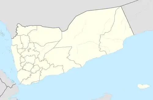 Az Zaghfah Location in Yemen | |
| Coordinates: 14°45′N 49°31′E | |
| Country | |
| Governorate | Hadhramaut |
| Time zone | UTC+3 (Yemen Standard Time) |
Notes
- Note that exact minutes vary depending on the time of year as with all areas on Earth, these are just the averages
References
- "Mindat.org". www.mindat.org. Retrieved 2022-06-05.
- "Current Time in Az Zaghfah, Hadramawt, Yemen". Checktimes.
- "Sunrise and Sunset in Az Zaghfah, Ash Shihr, Hadramaut, Yemen". Meteo State.
- "Az Zaghfah, Ash Shihr, Yemen - current time, map". www.citipedia.info. Retrieved 2022-06-05.
- "AZ ZAGHFAH Geography Population Map cities coordinates location - Tageo.com". www.tageo.com. Retrieved 2022-06-05.
- "Sunrise and sunset times in Az Zaghfah, Ash Shihr, Yemen". www.citipedia.info. Retrieved 2022-06-05.
- "Az Zaghfah". www.wikidata.org. Retrieved 2022-06-05.
- "الدليل الشامل - محافظة حضرموت - مديرية الشحر - عزلة الشحر". Archived from [yemenna.com/index.php?go=guide&op=show_pri&ide=661 the original] on 2019-11-21. Retrieved 2022-06-05.
{{cite web}}: Check|url=value (help) - "The General Census of Population 2004". www.saba.ye. 2004-12-29. Retrieved 2022-06-05.
- "Yemen General Population, Housing and Establishment Census 2004 | GHDx". ghdx.healthdata.org. Retrieved 2022-06-05.
- "Central Statistical Organisation- Listing of Buildings and Establishments data 2004". 2015-09-21. Archived from the original on 21 September 2015. Retrieved 2022-06-05.
External links
This article is issued from Wikipedia. The text is licensed under Creative Commons - Attribution - Sharealike. Additional terms may apply for the media files.