Bø, Midt-Telemark
Bø or Bø i Telemark is the administrative centre of Midt-Telemark Municipality in Vestfold og Telemark county, Norway. The village is located along the river Bøelva, about half-way between the large lakes Seljordsvatnet and Norsjø. It is located about 2.5 kilometres (1.6 mi) south of the village of Folkestad, about 6 kilometres (3.7 mi) northwest of the village of Gvarv, and about 15 kilometres (9.3 mi) north of the village of Bjervamoen. The small village of Nordbøåsane lies about 2.5 kilometres (1.6 mi) east of the village.[3]
Bø
Bø i Telemark | |
|---|---|
Village | |
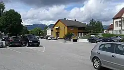 View of the village | |
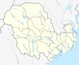 Bø Location of the village 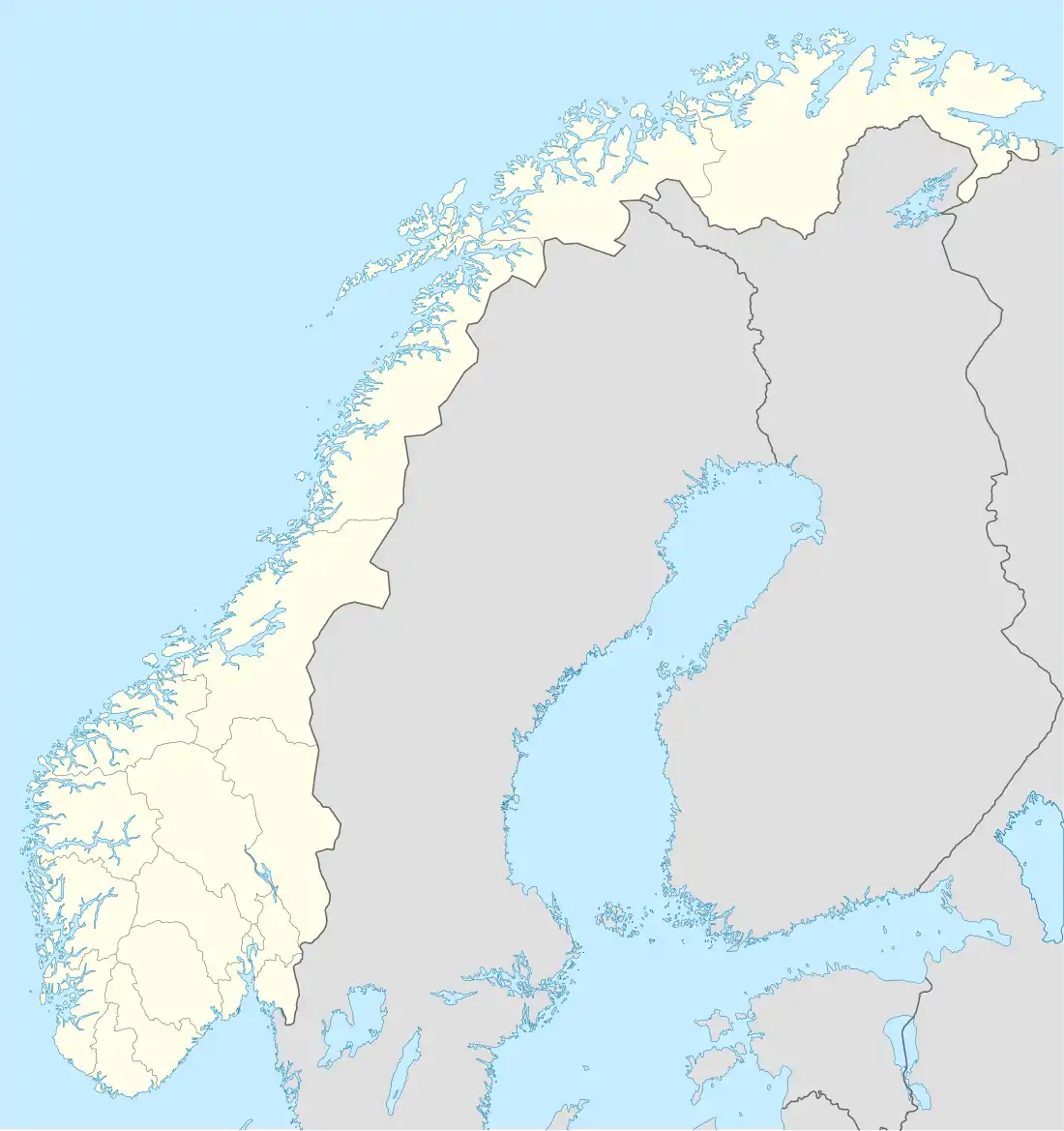 Bø Bø (Norway) | |
| Coordinates: 59.41299°N 9.0693°E | |
| Country | Norway |
| Region | Eastern Norway |
| County | Vestfold og Telemark |
| District | Aust-Telemark |
| Municipality | Midt-Telemark Municipality |
| Area | |
| • Total | 3.51 km2 (1.36 sq mi) |
| Elevation | 67 m (220 ft) |
| Population (2022)[1] | |
| • Total | 3,609 |
| • Density | 1,027/km2 (2,660/sq mi) |
| Time zone | UTC+01:00 (CET) |
| • Summer (DST) | UTC+02:00 (CEST) |
| Post Code | 3801 Bø i Telemark |
The 3.51-square-kilometre (870-acre) village has a population (2022) of 3,609 and a population density of 1,027 inhabitants per square kilometre (2,660/sq mi).[1]
The Norwegian National Road 36 and the Sørlandsbanen railway line both pass through the village. Both the Bø Church and the Old Bø Church are located in the village.[3]
References
- Statistisk sentralbyrå (1 January 2022). "Urban settlements. Population and area, by municipality".
- "Bø i Telemark". yr.no. Retrieved 29 August 2023.
- Mæhlum, Lars; Lundbo, Sten; Thorsnæs, Geir, eds. (28 December 2022). "Bø (tettstad i Midt-Telemark)". Store norske leksikon (in Norwegian). Kunnskapsforlaget. Retrieved 29 August 2023.