Banskandi
Banskandi is a Block level area in Cachar district, Assam, India, almost 13 km from Silchar.
Banskandi | |
|---|---|
Village | |
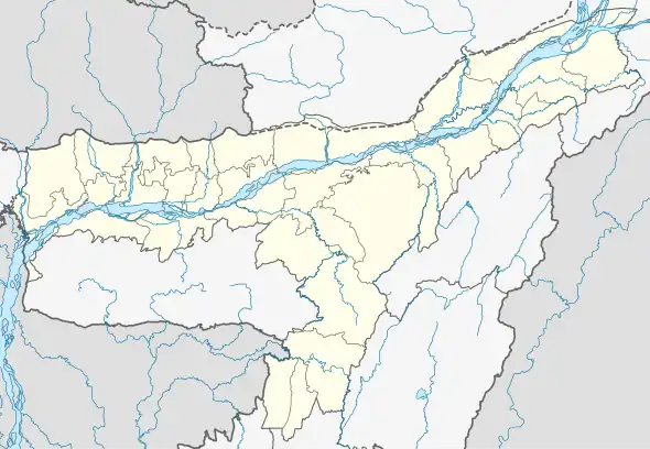 Banskandi Location in Assam, India  Banskandi Banskandi (India) | |
| Coordinates: 24°48′0″N 92°54′0″E | |
| Country | |
| State | Assam |
| District | Cachar |
| Government | |
| • Body | Gram panchayat |
| Elevation | 23 m (75 ft) |
| Languages | |
| • Official | Bengali |
| Time zone | UTC+5:30 (IST) |
| Vehicle registration | AS |
| Coastline | 0 kilometres (0 mi) |
Geography
Banskandi is located at an elevation of 23 meters above sea level.[1]
Location
National Highway 53, now, National Highway 37 passes through Banskandi.
Languages and peoples
The village is composed mainly of and Bengalis and Meiteis, and the Bengali language is the most common language in the region. Hindi speakers are very few.
Schools and institutes
Schools and institutes in the village include:
- Darul Uloom Banskandi (Islamic seminary)
- Banskandi Nena Meah Higher Secondary School
- MD English School
- Pioneer English school
- Banskandi Junior College
- Barak Valley Secondary School
- N.I.M public school
- Moulana Ahmed Ali Degree college
References
- http://www.fallingrain.com/world/IN/3/Banskandi.html Map and weather of Banskandi
This article is issued from Wikipedia. The text is licensed under Creative Commons - Attribution - Sharealike. Additional terms may apply for the media files.