Batanta
Batanta is one of the four major islands in the Raja Ampat Islands in Southwest Papua province, Indonesia. Its area is 453 km² and its highest point is 1184 m. The Pitt Strait separates it from Salawati, while the Dampier Strait separates it from Waigeo.
.svg.png.webp) Batanta Location in Raja Ampat Islands 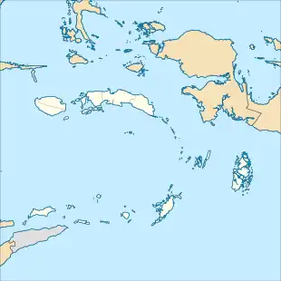 Batanta Location in Papua | |
| Geography | |
|---|---|
| Location | Pacific Ocean |
| Coordinates | 0°52′4″S 130°39′27″E |
| Archipelago | Raja Ampat Islands |
| Area | 453 km2 (175 sq mi) |
| Highest point | 1184 m |
| Administration | |
| Province | Southwest Papua |

Dampier Strait is named for the English explorer William Dampier. In 1759 Captain William Wilson sailing in the East Indiaman Pitt navigated these waters and named the channel between Batanta and Salawati Pitt Strait, after his vessel.
History
Islam first arrived in the Raja Ampat archipelago in the 15th century due to political and economic contacts with the Bacan Sultanate.[1] During the 16th and 17th centuries, the Sultante of Tidore had close economic ties with the island.[1] During this period, Islam became firmly established and local chiefs had begun adopting Islam.[1][2] Batanta was historically under the rule of Salawati Kingdom, one of the Raja Ampat (Four Kings).
Fauna
The following reptile, mammal and bird species are found on the island:
- Blue-spotted tree monitor (Varanus macraei)
- Crocodile Monitor (Varanus salvadorii)
- Wild boar (Sus scrofa) (prehistorically introduced)
- Black rat (Rattus rattus) (uncertain; introduced)
- Wilson's bird-of-paradise (Cicinnurus respublica)
- Myoictis wallacei (uncertain)
- Echymipera kalubu (uncertain)
- Phalanger orientalis
- Spilocuscus maculatus
- Paramelomys platyops
- Dobsonia beauforti
- Dobsonia magna
- Macroglossus minimus
- Nyctimene albiventer (Common tube-nosed fruit bat)
- Pteropus conspicillatus
- Rousettus amplexicaudatus
- Syconycteris australis
- Emballonura nigrescens
- Hipposideros cervinus
- Hipposideros diadema
- Hipposideros maggietaylorae
- Rhinolophus euryotis
- Miniopterus australis
- Myotis adversus (uncertain)
- Pipistrellus papuanus
References
- Wanggai, Toni V. M. (2008). Rekonstruki sejarah umat Islam di tanna Papua [Reconstruction of the History of lslam in Papua]. Syariff Hidayatullah State Islamic University Jakarta (in Indonesian). Retrieved 2022-03-13.
- Slama, Martin (2015), "Papua as an Islamic Frontier: Preaching in 'the Jungle' and the Multiplicity of Spatio-Temporal Hierarchisations", From 'Stone-Age' to 'Real-Time': Exploring Papuan Temporalities, Mobilities and Religiosities, ANU Press, pp. 243–270, ISBN 978-1-925022-43-8