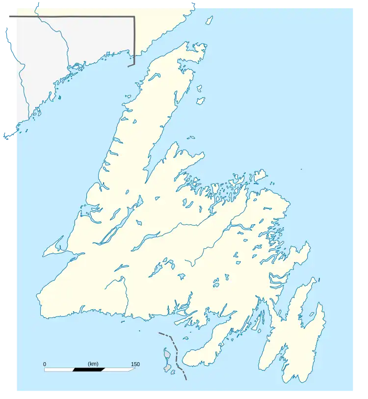
Bay L'Argent
Bay L'Argent (/beɪˈlɑːrdʒɛnt/ bay-LAR-jent)[2] is a town in the Canadian province of Newfoundland and Labrador.
Bay L'Argent | |
|---|---|
Town | |
 Bay L'Argent Location of Bay L'Argent in Newfoundland | |
| Coordinates: 47°32′45″N 54°52′58″W | |
| Country | |
| Province | |
| Government | |
| • Mayor | Alvin Banfield |
| Area | |
| • Land | 3.74 km2 (1.44 sq mi) |
| Population (2021[1]) | |
| • Total | 234 |
| • Density | 29.5/km2 (76/sq mi) |
| Time zone | UTC-3:30 (Newfoundland Time) |
| • Summer (DST) | UTC-2:30 (Newfoundland Daylight) |
| Area code | 709 |
| Highways | |
The ferry MV Terra Nova has a port in Bay L'Argent servicing the isolated outport of Rencontre East with another port in Pool's Cove, on the Connaigre Peninsula.[3][4]
History
In 2009, the Bay L'Argent town council made Newfoundland and Labrador history by electing the first ever all-female council.
Demographics
In the 2021 Census of Population conducted by Statistics Canada, Bay L'Argent had a population of 234 living in 115 of its 134 total private dwellings, a change of -2.9% from its 2016 population of 241. With a land area of 3.74 km2 (1.44 sq mi), it had a population density of 62.6/km2 (162.0/sq mi) in 2021.[1]
References
- "Population and dwelling counts: Canada, provinces and territories, census divisions and census subdivisions (municipalities), Newfoundland and Labrador". Statistics Canada. February 9, 2022. Retrieved March 15, 2022.
- The Canadian Press (2017), The Canadian Press Stylebook (18th ed.), Toronto: The Canadian Press
- "Touring Newfoundland's Connaigre Peninsula". Cape Breton Post. Saltwire Network. November 17, 2016. Archived from the original on 7 July 2019. Retrieved October 21, 2019.
- "N.L. ferries made 4,100 trips with no passengers last year". CBC. 2020-05-15. Retrieved 2020-12-17.
This article is issued from Wikipedia. The text is licensed under Creative Commons - Attribution - Sharealike. Additional terms may apply for the media files.