Belar, New South Wales
Belar, New South Wales is a bounded rural locality of the Warrumbungle Shire and a civil parish of Gowen County, New South Wales.[1][2] “Mobla” station near Binnaway is located at the south-east corner of Belar parish near the junction of Greenbah Creek with the Castlereagh River.
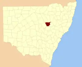
Gowen NSW.
Location
Belar parish is bounded by the Castlereagh River to the east and Greenbah Creek to the south, north-west of Binnaway.[1][2]
History
In 1873 it was recorded: "At Mobla a very neat bridge has been erected over the Greenbah Creek, just above its junction with the Castlereagh".[3]
References
- Robert McLean, The New atlas of Australia : the complete work containing over one hundred maps and full descriptive geography of New South Wales, Victoria, Queensland, South Australia and Western Australia, together with numerous illustrations and copious indices (Sydney :John Sands, [1886) Map 14.
- Map of Gowan County, New South Wales.
- 'Squatting Towns and Stations', Maitland Mercury and Hunter River General Advertiser, 10 July 1873, page 4.
This article is issued from Wikipedia. The text is licensed under Creative Commons - Attribution - Sharealike. Additional terms may apply for the media files.