Belthangady
Belthangady is a town panchayat and the headquarters of Belthangady taluk of the Dakshina Kannada (South Canara) district of Karnataka state in India.
Belthangady | |
|---|---|
Town | |
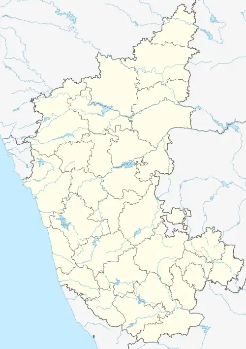 Belthangady Location in Karnataka, India | |
| Coordinates: 12.9210°N 75.2778°E | |
| Country | |
| State | Karnataka |
| District | Dakshina Kannada |
| Taluka | Belthangady |
| Government | |
| • Body | Town panchayat |
| • MLA | Harish Poonja (BJP) |
| Area | |
| • Town | 8.87 km2 (3.42 sq mi) |
| • Rank | 1st in (Dakshina Kannada) |
| Elevation | 108 m (354 ft) |
| Population (2011) | |
| • Town | 7,635 |
| • Density | 860/km2 (2,200/sq mi) |
| • Metro | 246,494 |
| Languages | |
| • Official | Kannada, Tulu |
| Time zone | UTC+5:30 (IST) |
| PIN | 574 214 |
| Telephone code | 08256 |
| Vehicle registration | KA 21, KA 70 |
| Lok Sabha constituency | Dakshina Kannada |
| Vidhana Sabha constituency | Belthangady |
| Website | belthangaditown |
Demographics
In 2001 in the town of Belthangady, 11% of the population was under 6 years of age.[1]
In the 2011 census, the town of Belthangady had a population of 7,635.[2]
Beltangadi Religion Data 2011
Population, 7,746
Hindu, 73.70%
Muslim, 12.42%
Christian, 11.46%
Education
List of Colleges
- SDM College, Ujire
- Govt First Grade College, Belthangady
- Vani P U college, Belthangady
- St. Theresa High School, Belthangady
- Church Higher Primary School, Belthangady
Geography
Belthangady is located at 13.9833°N 75.3°E.[3] It has an average elevation of 108 metres (354 feet).
References
- "Census of India 2001: Data from the 2001 Census, including cities, villages and towns (Provisional)". Census Commission of India. Archived from the original on 16 June 2004. Retrieved 1 November 2008.
- "NPR Report: Karnataka: Dakshina Kannada: Beltangadi". National Population Register, Ministry of Home Affairs, Government of India. 2011.
- "Maps, Weather, and Airports for Beltangadi, India". fallingrain.com.
- Bhat, N. Shyam (1998). South Kanara, 1799–1860: a study in colonial administration and regional response. Mittal Publications. ISBN 9788170995869. Retrieved 5 December 2012.
External links
Wikimedia Commons has media related to Belthangady.
This article is issued from Wikipedia. The text is licensed under Creative Commons - Attribution - Sharealike. Additional terms may apply for the media files.