Bherya
Bherya is a village located in Hosa Agrahara Hobli, Saligrama taluk in the Mysuru district of the Indian state of Karnataka.[1]
Bherya | |
|---|---|
Village | |
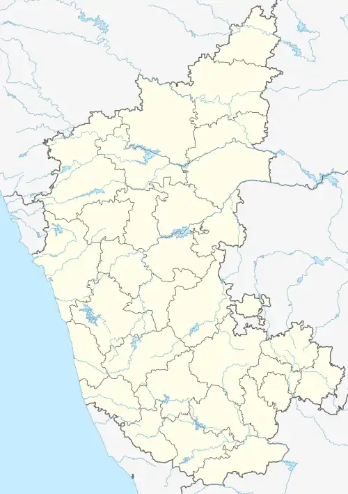
 Bherya Location in Karnataka, India  Bherya Bherya (India) | |
| Coordinates: 12.589075°N 76.349827°E | |
| Country | |
| State | Karnataka |
| District | Mysuru |
| Taluk | Saligrama |
| Government | |
| • Body | Grama Panchayath |
| Area | |
| • Total | 4 km2 (2 sq mi) |
| Elevation | 820 m (2,690 ft) |
| Population (2011) | |
| • Total | 4,915 |
| • Density | 1,200/km2 (3,200/sq mi) |
| Languages | |
| • Official | Kannada |
| Time zone | UTC+5:30 (IST) |
| PIN | 571 608 |
| Telephone code | 08223 |
| Vehicle registration | KA-45, KA-09 |
Bherya is located 10 km northeast of the town of Saligrama, 18 km north of Krishnarajanagara, 21 km southwest of the town of Krishnarajapete and 60 km northwest of the city of Mysuru. It is located at the junction of NH-373/SH-57 and SH-85, north of River Kaveri and west of River Hemavati.
PIN code
There is a post office in Bherya and the postal code is 571608.[4]
See also
References
- "Archived copy" (PDF). Archived from the original (PDF) on 6 April 2019. Retrieved 6 April 2019.
{{cite web}}: CS1 maint: archived copy as title (link) - "Bherya Village in Krishnarajanagara (Mysore) Karnataka | villageinfo.in".
- "Bherya Village Population - Krishnarajanagara - Mysore, Karnataka".
- "Bheriya Pin Code (Mysore, Karnataka) | Bheriya Postal Index Number Code (Pincode)".
This article is issued from Wikipedia. The text is licensed under Creative Commons - Attribution - Sharealike. Additional terms may apply for the media files.