Birch Hill Park, Alberta
Birch Hill Park is an unincorporated community in Alberta, Canada within Parkland County that is recognized as a designated place by Statistics Canada.[2] It is located on the west side of Range Road 262, 0.8 km (0.50 mi) south of Highway 627. It is adjacent to the designated place of Sunset View Acres to the north.
Birch Hill Park | |
|---|---|
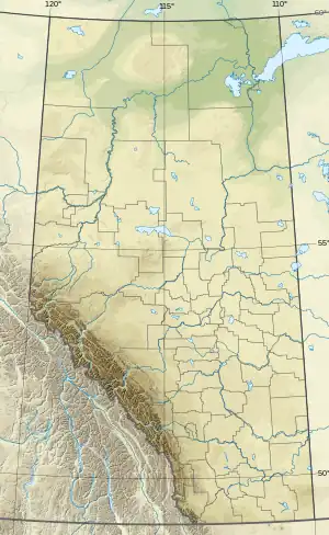 Birch Hill Park Location of Birch Hill Park 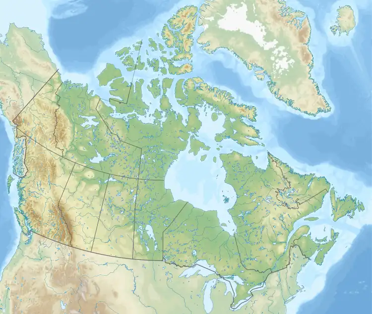 Birch Hill Park Birch Hill Park (Canada) | |
| Coordinates: 53.443°N 113.738°W | |
| Country | Canada |
| Province | Alberta |
| Region | Edmonton Metropolitan Region |
| Census division | 11 |
| Municipal district | Parkland County |
| Government | |
| • Type | Unincorporated |
| • Governing body | Parkland County Council |
| Area (2021)[1] | |
| • Land | 0.43 km2 (0.17 sq mi) |
| Population (2021)[1] | |
| • Total | 112 |
| • Density | 258.5/km2 (670/sq mi) |
| Time zone | UTC−07:00 (MST) |
| • Summer (DST) | UTC−06:00 (MDT) |
| Area codes | 780, 587, 825 |
Demographics
In the 2021 Census of Population conducted by Statistics Canada, Birch Hill Park had a population of 112 living in 39 of its 40 total private dwellings, a change of 4.7% from its 2016 population of 107. With a land area of 0.43 km2 (0.17 sq mi), it had a population density of 260.5/km2 (674.6/sq mi) in 2021.[1]
As a designated place in the 2016 Census of Population conducted by Statistics Canada, Birch Hill Park had a population of 107 living in 39 of its 39 total private dwellings, a change of -7% from its 2011 population of 115. With a land area of 0.43 km2 (0.17 sq mi), it had a population density of 248.8/km2 (644.5/sq mi) in 2016.[3]
References
- "Population and dwelling counts: Canada and designated places". Statistics Canada. February 9, 2022. Retrieved February 10, 2022.
- Statistics Canada (November 5, 2008). "Population and dwelling counts, for Canada, provinces and territories, and designated places, 2006 and 2001 censuses - 100% data (Alberta)". Retrieved October 17, 2010.
- "Population and dwelling counts, for Canada, provinces and territories, and designated places, 2016 and 2011 censuses – 100% data (Alberta)". Statistics Canada. February 8, 2017. Retrieved February 13, 2017.
Subdivisions of Alberta | |
|---|---|
| Subdivisions | |
| Communities | |
| Cities and urban service areas | |
| |