Boboyi
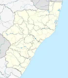
Boboyi, or Bhobhoyi, is a rural settlement in KwaZulu-Natal, South Africa. It is located 8 km (5 mi) west of Port Shepstone and is named after the Boboyi River which runs through the area.[2][3]
Boboyi | |
|---|---|
 Boboyi 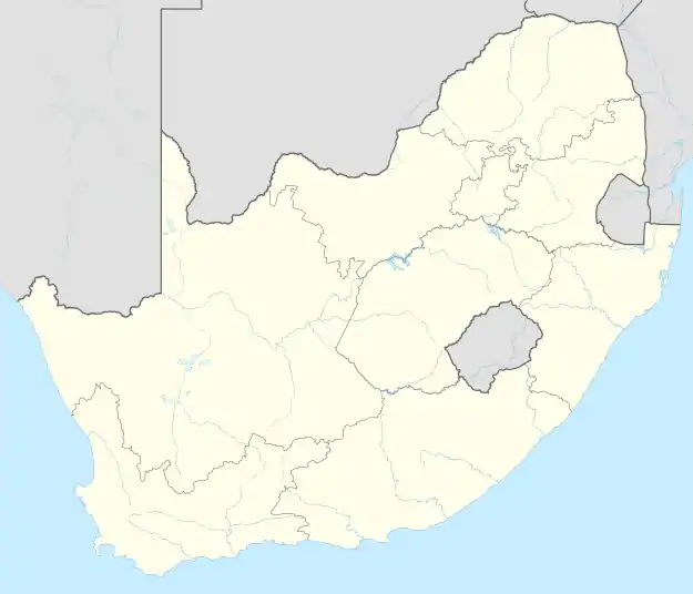 Boboyi | |
| Coordinates: 30°44′05″S 30°23′35″E | |
| Country | South Africa |
| Province | KwaZulu-Natal |
| District | Ugu |
| Municipality | Ray Nkonyeni |
| Area | |
| • Total | 3.56 km2 (1.37 sq mi) |
| Population (2011)[1] | |
| • Total | 6,915 |
| • Density | 1,900/km2 (5,000/sq mi) |
| Racial makeup (2011) | |
| • Black African | 99.0% |
| • Coloured | 0.5% |
| • Indian/Asian | 0.3% |
| • White | 0.1% |
| • Other | 0.1% |
| First languages (2011) | |
| • Zulu | 83.6% |
| • Xhosa | 8.9% |
| • Ndebele | 2.3% |
| • English | 2.3% |
| • Other | 2.9% |
| Time zone | UTC+2 (SAST) |
| Postal code (street) | 4240 |
| PO box | 4253 |
It is surrounded in the neighbourhood by Murchison, Mobatsha and Merlewood and is situated along the N2 national road between Port Shepstone and eZinqoleni.
History
Boboyi along with its neighbour of Murchison were formed under the Nsimbini Tribal Authority which became part of the KwaZulu bantustan. The little homeland budget designated for development shows that there was very little service delivery in these area which is still prevalent till this day. Post-apartheid (from 1994), the village was included into the province of KwaZulu-Natal and in 2000 it was placed under the local governance of the Hibiscus Coast Local Municipality (now Ray Nkonyeni Local Municipality) and Ugu District Municipality.
References
- "Sub Place Boboyi". Census 2011.
- Media, 02 Dec 2015-Road Safety in the. "Woman hit by a truck on the N2 in Boboyi". Arrive Alive. Retrieved 2020-01-03.
- "Police monitoring Murchison area following violent protest". ECR. Retrieved 2020-01-03.