Box Elder Canyon (Box Elder County, Utah)
Box Elder Canyon is a canyon located within the western slopes of the Wellsville Mountains, a branch of the Wasatch Range of the Rocky Mountains in the State of Utah, United States.[1]
| Box Elder Canyon | |
|---|---|
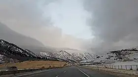
 Traveling northward along US 89 near the summit of the canyon | |
| Elevation | 5,525 ft (1,684 m) |
| Location | Box Elder County |
| Range | Wasatch Mountains |
| Coordinates | 41.4994°N 111.9944°W |
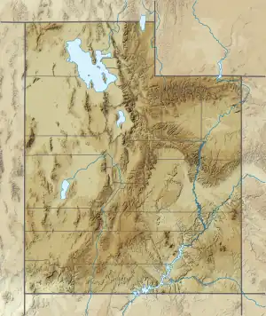
 Location in Utah  Location in the United States | |
Description
The valley was created by a prehistoric river, which flowed as a tributary into the main pool of ancient Lake Bonneville, emerging east of present-day Brigham City. The western or lower mouth of Box Elder Canyon is located approximately 56 miles (90 km) north of Salt Lake City, Utah, via Interstate 15 and U.S. Route 91 (US‑91). The joint national highway routes of U.S. Route 89 (US‑91) and US‑91 join together at 1100 South Main Street to the west and enter Box Elder Canyon 2 miles (3.2 km) east of downtown Brigham City.
In addition to US‑89/US‑91, Box Elder Canyon also contains Box Elder Creek, which flows westward from Mantua Reservoir, a moderately-sized water impoundment created in 1961 through the construction of an earthen-fill dam at the upper mouth of the canyon, adjacent to the small farming community of Mantua (pronounced by locals as "Man-a-way").[2] From Mantua, US‑89/US‑91 enters Dry Canyon for 3 miles (4.8 km) before the combined routes reach their apex at Sardine Summit (5,981 feet [1,823 m]). From there, the highway enters a mountain valley known as Dry Lake before traversing Wellsville Canyon (popularly but incorrectly called "Sardine Canyon") before entering the Cache Valley at Wellsville.
See also
References