Brunkeberg (Telemark)
Brunkeberg is a village in Kviteseid Municipality in Vestfold og Telemark county, Norway. The village is located at the intersection of the European route E134 highway and the Norwegian National Road 41. Brunkeberg Church is a white cruciform church from 1790 that is located in the village centre.[2][3]
.jpg.webp)
Brunkeberg | |
|---|---|
Village | |
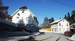 View of the village | |
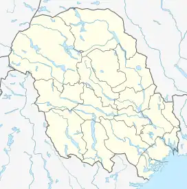 Brunkeberg Location of the village 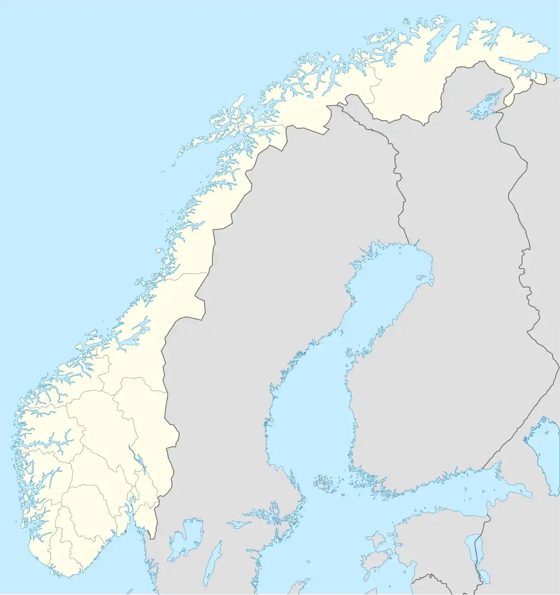 Brunkeberg Brunkeberg (Norway) | |
| Coordinates: 59.43464°N 8.48304°E | |
| Country | Norway |
| Region | Eastern Norway |
| County | Vestfold og Telemark |
| District | Vest-Telemark |
| Municipality | Kviteseid Municipality |
| Elevation | 390 m (1,280 ft) |
| Time zone | UTC+01:00 (CET) |
| • Summer (DST) | UTC+02:00 (CEST) |
| Post Code | 3850 Kviteseid |
The village is located in a narrow valley about 4 kilometres (2.5 mi) to the north of the village of Kviteseid, about 5 kilometres (3.1 mi) to the west of the village of Åsgrenda, and about 6 kilometres (3.7 mi) to the southeast of the village of Morgedal.
References
- "Brunkeberg, Kviteseid". yr.no. Retrieved 12 August 2023.
- Thorsnæs, Geir, ed. (30 June 2022). "Brunkeberg". Store norske leksikon (in Norwegian). Kunnskapsforlaget. Retrieved 12 August 2023.
- "Brunkeberg kyrkjestad". Kulturminnesøk. Retrieved 1 October 2016.
This article is issued from Wikipedia. The text is licensed under Creative Commons - Attribution - Sharealike. Additional terms may apply for the media files.