Brush Creek (Niobrara River tributary)
Brush Creek is a 19.52 mi (31.41 km) long second-order tributary to the Niobrara River in Holt County, Nebraska.
| Brush Creek Tributary to Niobrara River | |
|---|---|
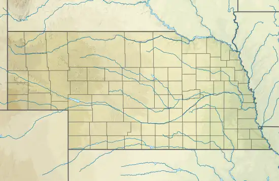 Location of Brush Creek mouth  Brush Creek (Niobrara River tributary) (the United States) | |
| Location | |
| Country | United States |
| State | Nebraska |
| County | Holt |
| Physical characteristics | |
| Source | North Branch Eagle Creek divide |
| • location | about 3 miles northeast of School No. 89 |
| • coordinates | 42°39′38.61″N 098°54′46.34″W[1] |
| • elevation | 2,051 ft (625 m)[1] |
| Mouth | Niobrara River |
• location | about 2 miles northwest of School No. 12 |
• coordinates | 42°49′35.00″N 098°49′0.32″W[1] |
• elevation | 1,562 ft (476 m)[1] |
| Length | 19.52 mi (31.41 km)[2] |
| Basin size | 80.99 square miles (209.8 km2)[3] |
| Discharge | |
| • location | Niobrara River |
| • average | 8.74 cu ft/s (0.247 m3/s) at mouth with Niobrara River[3] |
| Basin features | |
| Progression | Niobrara River → Missouri River → Mississippi |
| River system | Niobrara |
| Tributaries | |
| • right | Spring Creek |
| Bridges | 887th Road, 479th Avenue, NE 11 |
Course
Brush Creek rises on the North Branch Eagle Creek divide about 3 miles (4.8 km) northeast of School No. 89 in Holt County and then flows generally north-northeast to join the Niobrara River about 2 miles (3.2 km) northwest of School No. 12.[1]
Watershed
Brush Creek drains 80.99 square miles (209.8 km2) of area, receives about 24.7 in/year (63 cm/year) of precipitation, and is about 2.80% forested.[3]
See also
References
- "Geographic Names Information System". edits.nationalmap.gov. US Geological Survey. Retrieved 4 November 2022.
- "ArcGIS Web Application". epa.maps.arcgis.com. US EPA. Retrieved November 4, 2022.
- "Brush Creek Watershed Report". watersgeo.epa.gov. US EPA. Retrieved 4 November 2022.
This article is issued from Wikipedia. The text is licensed under Creative Commons - Attribution - Sharealike. Additional terms may apply for the media files.