Bukovik (Aleksinac)
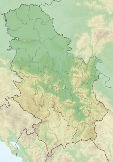
Bukovik[1][2] (Serbian Cyrillic: Буковик) is a mountain in central Serbia, between towns of Ražanj and Aleksinac. Its highest peak Bukova glava has an elevation of 894 m (2,933 ft) above sea level.[3]
| Bukovik | |
|---|---|
 Bukovik Location in Serbia | |
| Highest point | |
| Elevation | 894 m (2,933 ft)[1] |
| Coordinates | 43°41′30″N 21°38′08″E |
| Geography | |
| Location | Eastern Serbia |
Bukovik is located between the left, eastern bank of South Morava river and the right, northern bank of its tributary Moravica, above the Bovan Lake reservoir. The municipal border between Aleksinac and Ražanj runs across the mountain. The easiest access is from the villages of Mozgovo to the south and Crni Kao to the west. The mountain is well-forested, originally with beech trees to which it owns its name (bukva meaning 'beech' in Serbo-Croatian), but after the World War II significant amounts of spruce have been planted.[3] To the northeast lies the Rožanj mountain, separated by the valley of the Brška Reka, a tributary of the Bovan Lake.
Near the mountain top there are two separate World War II memorials, one to the Yugoslav Partisans and the other to the Chetniks, who fought a fierce battle in June 1944.[3][4]
References
- Jovan Đokić. "Katalog planina Srbije". PSD Kopaonik Beograd. Archived from the original on 2011-05-18.
- "Niške planine". Retrieved 2010-08-23.
- Dokman, Miroslav (6 May 2020). "Planina Bukovik" (in Serbian). Retrieved 2021-11-16.
- Samardžić, Miloslav (26 July 2016). "Bitka na Bukoviku - istorijske činjenice" (in Serbian). Retrieved 2021-11-16.