Buna, Kenya
Buna is a small town and Sub-County in Wajir County, situated in the North Eastern Province in Kenya. Nearby towns and places include Ajao and Bute Helu.
Buna | |
|---|---|
Populated place | |
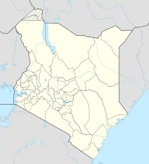 Buna Location in Kenya | |
| Coordinates: 2°47′19″N 39°30′53″E | |
| Country | |
| County | Wajir County |
| Elevation | 1,200 m (3,900 ft) |
| Population (2019)[1] | |
| • Total | 49,886 |
| Area code | 46 |
| Climate | BSh |
History
Buna historically is remembered as the deepest point of penetration by the Italian Army during World War II in Kenya.[2] The city was occupied in July 1940 and an Italian garrison remained there until January 1941[3]
Climate
| Climate data for Buna | |||||||||||||
|---|---|---|---|---|---|---|---|---|---|---|---|---|---|
| Month | Jan | Feb | Mar | Apr | May | Jun | Jul | Aug | Sep | Oct | Nov | Dec | Year |
| Average high °C (°F) | 35 (95) |
36 (96) |
36 (96) |
34 (94) |
33 (92) |
32 (90) |
31 (88) |
32 (89) |
33 (91) |
33 (92) |
33 (91) |
33 (92) |
33 (92) |
| Average low °C (°F) | 21 (70) |
22 (72) |
23 (74) |
24 (75) |
23 (73) |
21 (70) |
21 (69) |
21 (69) |
21 (70) |
22 (71) |
22 (71) |
23 (73) |
22 (71) |
| Average precipitation mm (inches) | 5.1 (0.2) |
13 (0.5) |
20 (0.8) |
69 (2.7) |
36 (1.4) |
0 (0) |
5.1 (0.2) |
2.5 (0.1) |
5.1 (0.2) |
25 (1) |
41 (1.6) |
23 (0.9) |
240 (9.5) |
| Source: Weatherbase [4] | |||||||||||||
See also
References
- 2019 Kenya Population and Housing Census Volume I: Population by County and Sub-County; retrieved 8 April 2020.
- Map showing in detail the Buna occupation by Italians (within a green line)
- Arrigo Petacco. La nostra guerra 1940-1945. L'avventura bellica tra bugie e verità. Mondadori. Milano, 2006. (pag. 30)
- "Weatherbase: Historical Weather for Wajir, Kenya". Weatherbase. 2014. Retrieved on September 27, 2014.
External links
This article is issued from Wikipedia. The text is licensed under Creative Commons - Attribution - Sharealike. Additional terms may apply for the media files.