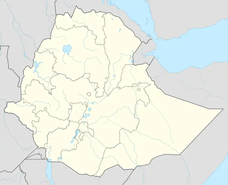
Bure (Gojjam), Ethiopia
Bure (Amharic: ቡሬ), also transliterated Burye is a town in western Ethiopia. Located in the Mirab Gojjam Zone of the Amhara Region, this town has a longitude and latitude of 10°42′N 37°4′E with an elevation of 2091 meters above sea level.
Bure | |
|---|---|
 Bure Location in Ethiopia | |
| Coordinates: 10°42′N 37°4′E | |
| Country | Ethiopia |
| Region | Amhara Region |
| Zone | Mirab Gojjam Zone |
| Elevation | 2,091 m (6,860 ft) |
| Population (2005 est.) | |
| • Total | 23,292 |
| Time zone | UTC+3 (EAT) |
Bure enjoys a flourishing small business and connection point of businesses between Wolega, Gondar and Shewa. An agricultural training college and Bure Baguna, a mineral water factory, are the main modern industrial opportunities in the town.[1]
History
An early mention of Bure is Emperor Susenyos's visit in 1608, after he had celebrated Easter at Wancha near the Melka Saytant ford over the Abay River.[2]
Ras Mikael Sehul and his puppet Emperor Tekle Haymanot camped at Bure in 1770 for three days after their victory at the Battle of Faggeta.[3] The Enderase (Regent) of the Emperor of Ethiopia, Ras Ali II, was born in Bure while his father Dejazmach Alula was governor of Damot.[4]
Bure is located at a group of hot springs that were popular during the 19th century for their therapeutic properties.[5] When Charles Beke visited Bure in 1842, he reports he found the market "to be very small. It is occasionally visited by a few Gallas from Shinasha and A'muru." Beke continues, "The Baso market is, however, now-a-days so generally frequented by the merchants, that it has drawn away from Burie the trade which I apprehend formerly existed here."[4] By 1880, its market was mentioned as having some trade in gold.[6]
In the late 1930s, during the Italian occupation, Bure was described as a large village with a market located on a ridge between the upper valleys of Fettam/Sarki and Selala. It had two churches, one dedicated to Saint John and the other to Kidane Mihret. It also reportedly had a radio telegraph station, a clinic, and the residence of the local Italian official.[6] Because the town was an important strongpoint on the Bahir Dar-Debre Markos road, its capture by Gideon Force and the followers of Dejazmach Negash Bezibeh 4 March 1941 was a significant contribution to the defeat of the Italians in Ethiopia.[7]
Due to ethnic unrest in the East Welega Zone (located in the Oromia Region) during 2001, over 10,900 Amhara sought refuge in Bure.[6]
Demographics
Based on figures from the Central Statistical Agency in 2005, this town has an estimated total population of 23,292, of whom 11,535 are men and 11,757 are women.[8] The 1994 census reported this town had a total population of 13,437 of whom 6,069 were men and 7,368 were women. It is the largest town in Bure woreda.
Notes
- Current Exploration and Mining Archived 22 April 2007 at archive.today, Geological Survey of Ethiopia Web Page (Retrieved 26 January 2009)
- G.W.B. Huntingford, The historical geography of Ethiopia from the first century AD to 1704, (Oxford University Press: 1989), p. 160
- H. Weld Blundell, The Royal chronicle of Abyssinia, 1769–1840 (Cambridge: University Press, 1922), p. 207
- Charles T. Beke, "Abyssinia. Being a Continuation of Routes in That Country", Journal of the Royal Geographical Society, 14 (1844), pp. 1–76
- Richard Pankhurst, An Introduction to the Medical History of Ethiopia (Trenton: Red Sea Press, 1990), p. 121
- "Local History in Ethiopia" Archived 27 September 2007 at the Wayback Machine The Nordic Africa Institute website (Retrieved 7 April 2008)
- Mockler, Anthony (2003) [First published 1984]. Haile Selassie's War. New York: Olive Branch. pp. 342–348. ISBN 1-56656-473-5.
- CSA 2005 National Statistics Archived 23 November 2006 at the Wayback Machine, Table B.4