Burnside-St. Chads, Newfoundland and Labrador
Burnside-St. Chads is a local service district and designated place on the Eastport Peninsula in the Canadian province of Newfoundland and Labrador. A port is located in Burnside through which the MV Grace Sparkes services the isolated island outport of St. Brendan's.[2][3][4] Burnside-St. Chads community had a population of 79 in the 2021 census.
Burnside-St. Chads | |
|---|---|
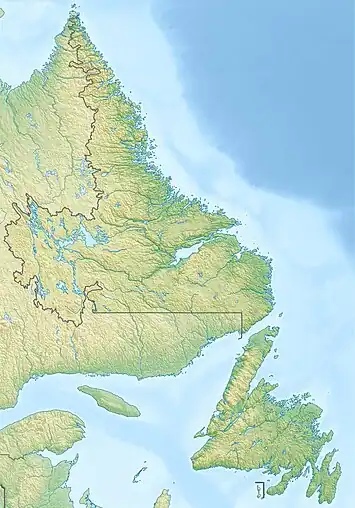 Burnside-St. Chads Location of Burnside-St. Chads 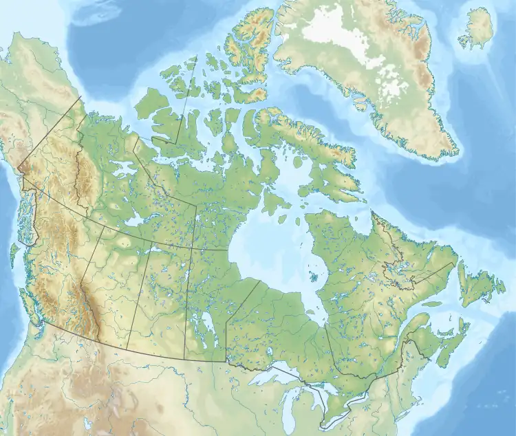 Burnside-St. Chads Burnside-St. Chads (Canada) | |
| Coordinates: 48.699°N 53.786°W | |
| Country | Canada |
| Province | Newfoundland and Labrador |
| Region | Newfoundland |
| Census division | 7 |
| Census subdivision | D |
| Government | |
| • Type | Unincorporated |
| Area | |
| • Land | 15.94 km2 (6.15 sq mi) |
| Population (2021) | |
| • Total | 79 |
| Time zone | UTC−03:30 (NST) |
| • Summer (DST) | UTC−02:30 (NDT) |
| Area code | 709 |
| Highways | |
Geography
Burnside-St. Chads is in Newfoundland within Subdivision D of Division No. 7.[5]
Demographics
As a designated place in the 2016 Census of Population conducted by Statistics Canada, Burnside-St. Chads recorded a population of 95 living in 43 of its 135 total private dwellings, a change of 4.4% from its 2011 population of 91. With a land area of 15.94 km2 (6.15 sq mi), it had a population density of 6.0/km2 (15.4/sq mi) in 2016.[1]
Government
Burnside-St. Chads is a local service district (LSD)[6] that is governed by a committee responsible for the provision of certain services to the community.[7] The chair of the LSD committee is Albert Oldford.[6]
See also
References
- "Population and dwelling counts, for Canada, provinces and territories, and designated places, 2016 and 2011 censuses – 100% data (Newfoundland and Labrador)". Statistics Canada. February 7, 2018. Retrieved December 22, 2021.
- "$6M ferry service for 114 people: But don't mention resettlement on St. Brendan's - CBC News". CBC. October 27, 2017. Retrieved December 17, 2020.
- "N.L. ferries made 4,100 trips with no passengers last year". CBC. May 15, 2020. Retrieved December 17, 2020.
- "Conciliation sought as N.L. ferry strike drags on - CBC News". CBC. September 10, 2020. Retrieved December 17, 2020.
- "Population and dwelling counts, for Canada, provinces and territories, census divisions, census subdivisions (municipalities) and designated places, 2016 and 2011 censuses – 100% data (Newfoundland and Labrador)". Statistics Canada. February 7, 2018. Retrieved December 23, 2021.
- "Directory of Local Service Districts" (PDF). Government of Newfoundland and Labrador. October 2021. Retrieved January 1, 2022.
- "Local Service Districts – Frequently Asked Questions". Government of Newfoundland and Labrador. Retrieved January 1, 2022.