Butlers Gorge, Tasmania
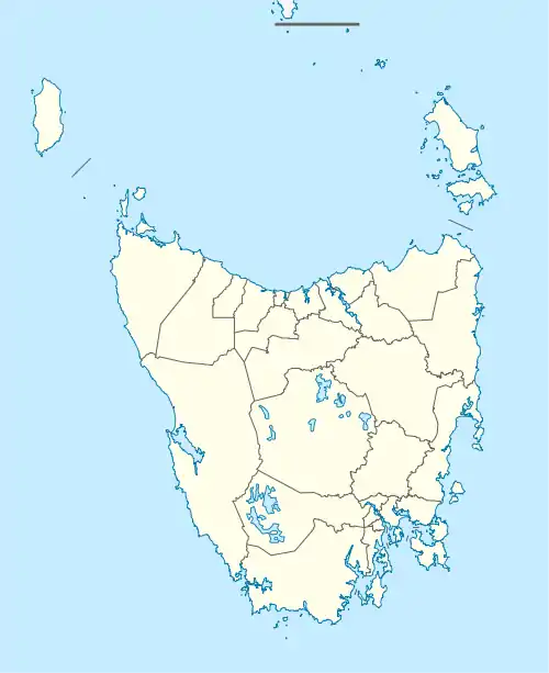
Butlers Gorge is a rural locality in the local government area of Central Highlands in the Central region of Tasmania. It is located about 67 kilometres (42 mi) north-west of the town of Hamilton. The 2016 census determined a population of nil for the state suburb of Butlers Gorge.[1]
| Butlers Gorge Tasmania | |||||||||||||||
|---|---|---|---|---|---|---|---|---|---|---|---|---|---|---|---|
 Butlers Gorge | |||||||||||||||
| Coordinates | 42°14′57″S 146°15′34″E | ||||||||||||||
| Population | nil (2016 census)[1] | ||||||||||||||
| Postcode(s) | 7140 | ||||||||||||||
| Location | 67 km (42 mi) NW of Hamilton | ||||||||||||||
| LGA(s) | Central Highlands | ||||||||||||||
| Region | Central | ||||||||||||||
| State electorate(s) | Lyons | ||||||||||||||
| Federal division(s) | Lyons | ||||||||||||||
| |||||||||||||||
History
Butlers Gorge was gazetted as a locality in 1971. It was named for John Leslie Butler, a surveyor who worked in the area.[2]
Geography
Most of Lake King William is contained within the locality. The River Derwent flows from the lake to the south-east boundary.[3]
Climate
Butlers Gorge has a temperate oceanic climate (Köppen: Cfb), bordering on a subpolar oceanic climate (Köppen: Cfc). Over the period 1957 to 1993, there were on average 27 snow days annually.[4]
| Climate data for Butlers Gorge (667 m AMSL, 1941–2021) | |||||||||||||
|---|---|---|---|---|---|---|---|---|---|---|---|---|---|
| Month | Jan | Feb | Mar | Apr | May | Jun | Jul | Aug | Sep | Oct | Nov | Dec | Year |
| Record high °C (°F) | 34.4 (93.9) |
33.5 (92.3) |
31.9 (89.4) |
25.0 (77.0) |
22.0 (71.6) |
18.3 (64.9) |
16.1 (61.0) |
18.9 (66.0) |
24.4 (75.9) |
26.8 (80.2) |
30.3 (86.5) |
32.7 (90.9) |
34.4 (93.9) |
| Average high °C (°F) | 19.0 (66.2) |
18.8 (65.8) |
16.6 (61.9) |
13.1 (55.6) |
10.0 (50.0) |
7.9 (46.2) |
7.1 (44.8) |
8.0 (46.4) |
10.2 (50.4) |
12.7 (54.9) |
14.7 (58.5) |
16.8 (62.2) |
12.9 (55.2) |
| Average low °C (°F) | 6.4 (43.5) |
6.2 (43.2) |
5.2 (41.4) |
3.4 (38.1) |
1.8 (35.2) |
0.3 (32.5) |
−0.3 (31.5) |
0.0 (32.0) |
1.1 (34.0) |
2.4 (36.3) |
4.0 (39.2) |
5.5 (41.9) |
3.0 (37.4) |
| Record low °C (°F) | −2.8 (27.0) |
−2.5 (27.5) |
−4.4 (24.1) |
−5.7 (21.7) |
−6.7 (19.9) |
−13 (9) |
−12.5 (9.5) |
−12.2 (10.0) |
−6.5 (20.3) |
−5.6 (21.9) |
−5.5 (22.1) |
−3.3 (26.1) |
−13 (9) |
| Average precipitation mm (inches) | 94.0 (3.70) |
81.1 (3.19) |
101.6 (4.00) |
141.2 (5.56) |
162.2 (6.39) |
149.3 (5.88) |
178.9 (7.04) |
185.2 (7.29) |
168.2 (6.62) |
159.2 (6.27) |
136.7 (5.38) |
125.6 (4.94) |
1,675 (65.94) |
| Average precipitation days (≥ 0.2 mm) | 15.2 | 12.9 | 16.4 | 19.4 | 21.6 | 20.8 | 23.5 | 23.8 | 21.8 | 21.2 | 19.4 | 18.3 | 234.3 |
| Source: Bureau of Meteorology[5] | |||||||||||||
Road infrastructure
The C603 route (Butlers Gorge Road) enters from the south-east and terminates at the Lake King William Dam.[2][6]
See also
References
- "2016 Census Quick Stats Butlers Gorge (Tas.)". quickstats.censusdata.abs.gov.au. Australian Bureau of Statistics. 23 October 2017. Retrieved 5 June 2020.
- "Placenames Tasmania – Butlers Gorge". Placenames Tasmania. Select “Search”, enter "936E", click “Search”, select row, map is displayed, click “Details”. Retrieved 5 June 2020.
- Google (5 June 2020). "Butlers Gorge, Tasmania" (Map). Google Maps. Google. Retrieved 5 June 2020.
- Australian Weather News. "Annual snow days sorted in descending order of average occurrence". Australian Weather News. Retrieved 8 December 2022.
- http://www.bom.gov.au/climate/averages/tables/cw_096003_All.shtml
- "Tasmanian Road Route Codes" (PDF). Department of Primary Industries, Parks, Water & Environment. May 2017. Archived from the original (PDF) on 1 August 2017. Retrieved 18 May 2020.