Cable Creek
Cable Creek is a stream of approximately 5 miles (8.0 km) which rises in the U.S. state of Idaho and has its mouth across the state line in Washington.
| Cable Creek | |
|---|---|
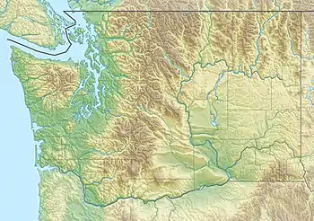 Location of the mouth of Cable Creek in Washington  Cable Creek (the United States) | |
| Location | |
| Country | United States |
| State | Washington, Idaho |
| County | Kootenai, Spokane. |
| Physical characteristics | |
| Source | Cable Peak |
| • location | Kootenai County, Idaho |
| • coordinates | 47°37′29″N 117°00′44″W[1] |
| • elevation | 4,557 ft (1,389 m) |
| Mouth | Spokane River at |
• location | Liberty Lake, Washington |
• coordinates | 47°41′26″N 117°03′56″W[1] |
• elevation | 2,024 ft (617 m) |
| Length | 5 mi (8.0 km) |
| Basin features | |
| Progression | Spokane River → Columbia River → Pacific Ocean |
| River system | Columbia River |
Geography
Cable Creek flows roughly south to north from Cable Peak on the Mica Peak ridge at approximately 4,600 feet above sea level and enters the Spokane River at approximately 2,020 feet above sea level. The stream drops roughly 2,500 feet over the span of five miles. Most of that elevation change occurs in the first two miles, where the creek navigates down Mica Peak, the southernmost of the Selkirk Mountains. The lower reaches of Cable Creek enter the Spokane Valley, with relatively flat terrain compared to the upper reaches. The stream flows under Interstate 90 just before meeting the Spokane River, immediately east of the city of Liberty Lake in the former community of Spokane Bridge.
From its source in Idaho the stream crosses the state line three times, first into Washington, then back into Idaho, and ultimately into Washington once again. The upper portion is heavily forested and mountainous while the lower portion flows through farmland.[2]
References
- "Cable Creek". Geographic Names Information System. United States Geological Survey, United States Department of the Interior.
- Weeks, Devin. "A tree-mendous holiday season". CDA Press. CDA Press. Retrieved 18 October 2021.