Calcott, Kent
Calcott is a hamlet in Sturry parish, in the Canterbury District of the English county of Kent. It lies on the A291 road, about 1+1⁄2 miles (2.4 km) north of Sturry and 3 miles (5 km) south of Herne Bay.[1]
| Calcott | |
|---|---|
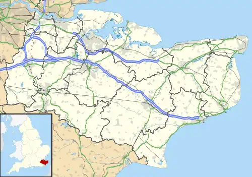 Calcott Location within Kent | |
| Civil parish | |
| District | |
| Shire county | |
| Region | |
| Country | England |
| Sovereign state | United Kingdom |
| Post town | Canterbury |
| Postcode district | CT3 |
| Police | Kent |
| Fire | Kent |
| Ambulance | South East Coast |
| UK Parliament | |
This article is issued from Wikipedia. The text is licensed under Creative Commons - Attribution - Sharealike. Additional terms may apply for the media files.