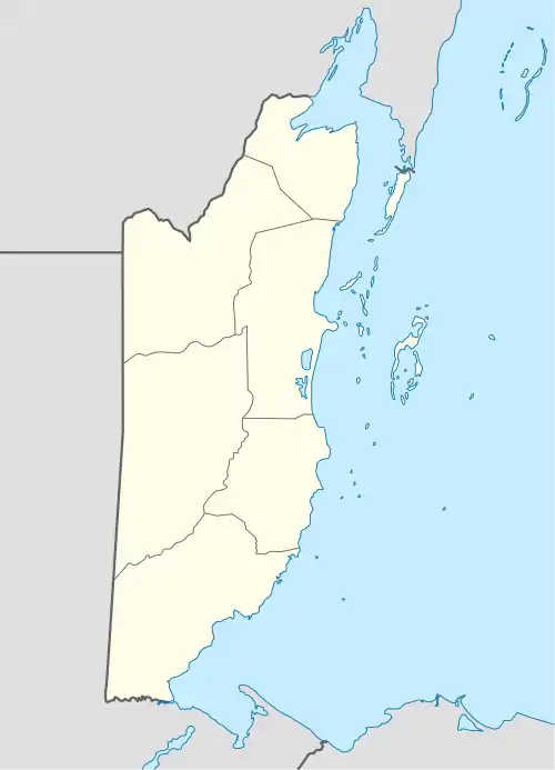
Camalote, Belize
Camalote is a village located along the George Price Highway in Cayo District, Belize. It lies approximately five kilometers west of Belmopan.
Camalote | |
|---|---|
 Camalote | |
| Coordinates: 17.2472°N 88.8176°W | |
| Country | |
| District | Cayo District |
| Constituency | Cayo South |
| Population (2010) | |
| • Total | 2,562[1] |
| Time zone | UTC-6 (Central) |
Demographics
At the time of the 2010 census, Camalote had a population of 2,562 people in 560 households.[1] Of these, 45.7% were Mestizo, 36.1% Creole, 8.6% Mixed, 2.0% East Indian, 2.0% Mopan Maya, 1.8% Ketchi Maya, 1.1% Garifuna, 0.8% Caucasian, 0.6% Asian, 0.3% Mennonite, 0.2% African and 0.7% others.[2]
References
- "Population Data – Census 2010". Statistical Institute of Belize. Archived from the original on 4 March 2014. Retrieved 27 February 2014.
- Population & Housing Census 2010
This article is issued from Wikipedia. The text is licensed under Creative Commons - Attribution - Sharealike. Additional terms may apply for the media files.