Camp Creek (Eagle Creek tributary)
Camp Creek is a 10.79 mi (17.36 km) long second-order tributary to Eagle Creek in Holt County, Nebraska.
| Camp Creek Tributary to Eagle Creek | |
|---|---|
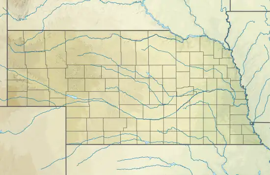 Location of Camp Creek mouth  Camp Creek (Eagle Creek tributary) (the United States) | |
| Location | |
| Country | United States |
| State | Nebraska |
| County | Holt |
| Physical characteristics | |
| Source | Blackbird Creek divide |
| • location | about 1.5 miles east of School No. 150 |
| • coordinates | 42°37′17.01″N 098°40′10.31″W[1] |
| • elevation | 1,982 ft (604 m)[1] |
| Mouth | Eagle Creek |
• location | about 0.5 miles southwest of School No. 208 |
• coordinates | 42°44′10.02″N 098°36′58.31″W[1] |
• elevation | 1,529 ft (466 m)[1] |
| Length | 10.79 mi (17.36 km)[2] |
| Basin size | 17.31 square miles (44.8 km2)[3] |
| Discharge | |
| • location | Eagle Creek |
| • average | 2.04 cu ft/s (0.058 m3/s) at mouth with Eagle Creek[3] |
| Basin features | |
| Progression | Eagle Creek → Niobrara River → Missouri River → Mississippi |
| River system | Niobrara |
| Bridges | 883rd Road, US 281, 885th Road, 886th Road, 887th Road, 888th Road |
Course
Camp Creek rises on the Blackbird Creek divide about 1.5 miles (2.4 km) east of School No. 150 in Holt County and then flows generally north to join Eagle Creek about 0.5 miles (0.80 km) southwest of School No. 208.[1]
Watershed
Camp Creek drains 17.31 square miles (44.8 km2) of area, receives about 24.7 in/year (63 cm/year) of precipitation, and is about 5.16% forested.[3]
See also
References
- "Geographic Names Information System". edits.nationalmap.gov. US Geological Survey. Retrieved 3 November 2022.
- "ArcGIS Web Application". epa.maps.arcgis.com. US EPA. Retrieved November 3, 2022.
- "Camp Creek Watershed Report". watersgeo.epa.gov. US EPA. Retrieved 3 November 2022.
This article is issued from Wikipedia. The text is licensed under Creative Commons - Attribution - Sharealike. Additional terms may apply for the media files.