Cantabrian Sea
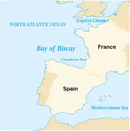
The Cantabrian Sea[lower-alpha 1] is the term used mostly in Spain to describe the coastal sea of the Atlantic Ocean that borders the northern coast of Spain and the southwest side of the Atlantic coast of France, included in the Bay of Biscay. It extends from the cape Estaca de Bares in the province of A Coruña, to the mouth of the river Adour, near the city of Bayonne on the coast of the department of Pyrénées-Atlantiques in French Basque Country.
| Cantabrian Sea | |
|---|---|
 | |
 Cantabrian Sea | |
| Coordinates | 44.0323°N 4.3506°W |
| Type | Sea |
| Primary inflows | Agüera, Asón, Bidasoa, Cares-Deva, Eo, Escudo, Miera, Nalón, Nansa, Navia, Pas, Pisueña, Saja-Besaya, Sella, Piles |
| Basin countries | Spain, France |
| Max. length | 800 km (497 mi) |
| Max. depth | 2,789 m (9,150 ft) |
The sea borders 800 km (500 mi) of coastline shared by the Spanish provinces of A Coruña, Lugo, Asturias, Cantabria, Biscay and Gipuzkoa, and the French area of Labourd.
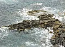
Coast of Ribadesella, Asturias
Notes and references
This article is issued from Wikipedia. The text is licensed under Creative Commons - Attribution - Sharealike. Additional terms may apply for the media files.