Captain Aníbal Arab Airport
Captain Aníbal Arab Airport (Spanish: Aeropuerto Capitán Aníbal Arab, IATA: CIJ, ICAO: SLCO) is an international airport serving the Acre River port city of Cobija, the capital of the Pando Department of Bolivia. This airport is located at a reasonably near distance to Monumento Pando, and is also at a relatively close proximity to Rio Acre.
Captain Aníbal Arab Airport Heroes Del Acre Airport | |||||||||||
|---|---|---|---|---|---|---|---|---|---|---|---|
 | |||||||||||
| Summary | |||||||||||
| Airport type | Public | ||||||||||
| Operator | Government | ||||||||||
| Serves | Cobija, Bolivia | ||||||||||
| Elevation AMSL | 804 ft / 245 m | ||||||||||
| Coordinates | 11°02′25″S 68°47′00″W | ||||||||||
| Map | |||||||||||
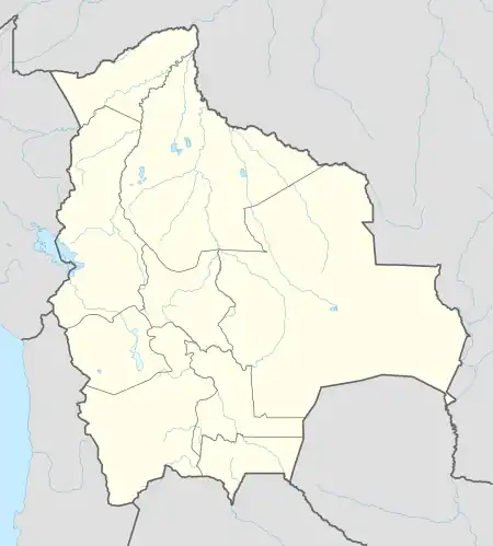
 CIJ Location of airport in Bolivia | |||||||||||
| Runways | |||||||||||
| |||||||||||
The Cobija non-directional beacon (Ident: CIJ) is located on the field.[4]
Airlines and destinations
| Airlines | Destinations |
|---|---|
| Boliviana de Aviación | Cochabamba, La Paz, Santa Cruz de la Sierra–Viru Viru |
| EcoJet | La Paz, Trinidad[5] |
References
- Airport information for SLCO
- Airport information for Cobija at Great Circle Mapper.
- Google Maps - Cobija
- Cobija NDB
- October 2014, Timetable, (spanish) http://www.ecojet.bo/reservas-y-servicios Archived 2014-10-20 at the Wayback Machine
External links
- Cobija Airport at OpenStreetMap
- Cobija Airport at OurAirports
- Aeronautical chart and airport information for Cap. Av. Civ Anibal Arab Fadul Airport at SkyVector
- Cobija Airport at FallingRain
- Accident history for Cobija-E. Beltram Airport at Aviation Safety Network
- Current weather for Cobija at NOAA/NWS
This article is issued from Wikipedia. The text is licensed under Creative Commons - Attribution - Sharealike. Additional terms may apply for the media files.