Cape Charlotte
Cape Charlotte (located at 54°32′S 35°54′W) is a cape that forms the southeast side of the entrance to Royal Bay on the north coast near the eastern end of South Georgia in the Atlantic Ocean. It was discovered in 1775 by a British expedition under Captain James Cook, who named it for Queen Charlotte.
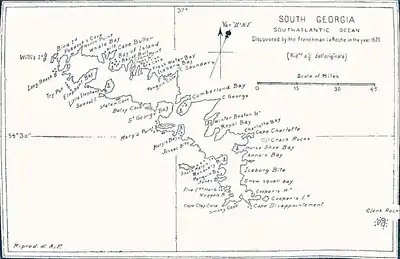
Pendleton's 1802 map showing Cape Charlotte
References
 This article incorporates public domain material from "Charlotte, Cape". Geographic Names Information System. United States Geological Survey.
This article is issued from Wikipedia. The text is licensed under Creative Commons - Attribution - Sharealike. Additional terms may apply for the media files.