Cape Disappointment (South Georgia)
Cape Disappointment (54°53′S 36°7′W) is a headland which forms the southern extremity of South Georgia. It was first charted and so named in 1775 by a British expedition under James Cook, who upon reaching this position was greatly disappointed in realizing that South Georgia was an island rather than a continent.
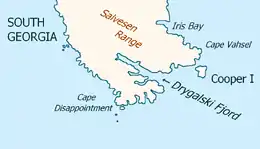
Southeast extremity of South Georgia
with Cape Disappointment
with Cape Disappointment
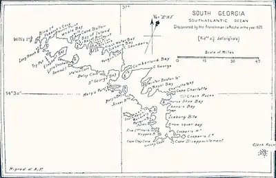
Pendleton's 1802 map showing Cape Disappointment
References
 This article incorporates public domain material from "Disappointment, Cape". Geographic Names Information System. United States Geological Survey.
This article is issued from Wikipedia. The text is licensed under Creative Commons - Attribution - Sharealike. Additional terms may apply for the media files.