Cabo de Santa Maria (Faro)
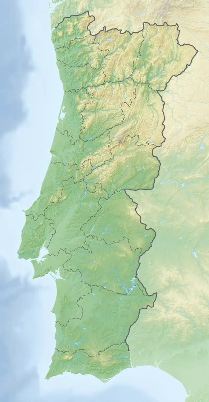
Cape of St. Mary (Portuguese: Cabo de Santa Maria) is the southernmost point of mainland Portugal, in the municipality of Faro. It is a point in the smooth curve of a long sandy beach in the Island of Barreta.[1][2]
Cabo de Santa Maria | |
|---|---|
 Beach in the southernmost point of mainland Portugal, Barreta Island (Santa Maria cape) | |
 Cabo de Santa Maria | |
| Coordinates: 36°57′0″N 7°53′17″W |
Its coordinates are approximately 36°57′00″N 007°53′17″W.
See also
References
- "Farol do Cabo de Santa Maria". Instituto da Habitação e da Reabilitação Urbana. 2007. Retrieved 25 October 2020.
- "Onde a terra acaba e o mar começa". ionline (in Portuguese). Retrieved 22 May 2021.
This article is issued from Wikipedia. The text is licensed under Creative Commons - Attribution - Sharealike. Additional terms may apply for the media files.