Castel Bolognese
Castel Bolognese (Romagnol: Castël Bulgnés) is a comune (municipality) in the Province of Ravenna in the Italian region Emilia-Romagna, located about 40 kilometres (25 mi) southeast of Bologna and about 35 kilometres (22 mi) southwest of Ravenna. As of 2006, it has a population of about 9,000 inhabitants.
Castel Bolognese | |
|---|---|
| Comune di Castel Bolognese | |
 | |
 Coat of arms | |
Location of Castel Bolognese | |
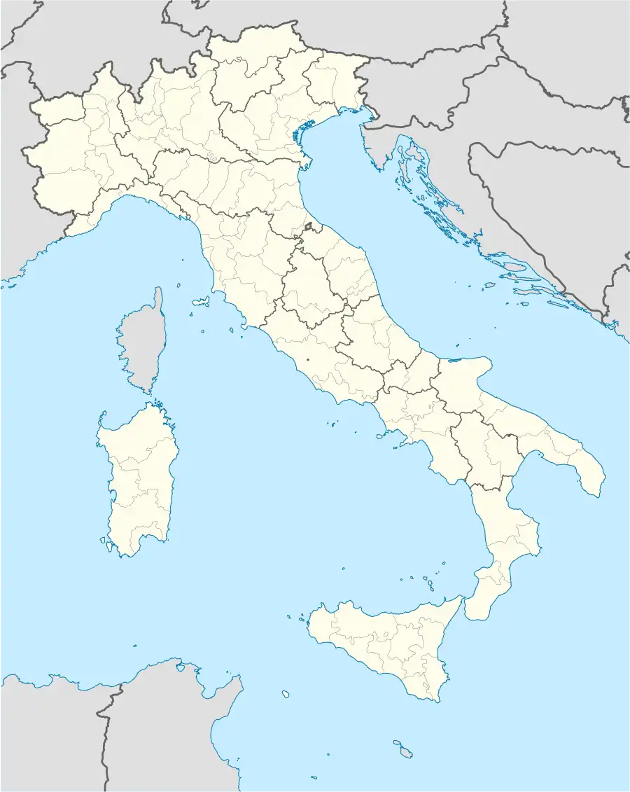 Castel Bolognese Location of Castel Bolognese in Italy 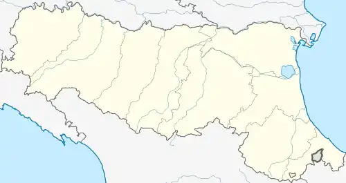 Castel Bolognese Castel Bolognese (Emilia-Romagna) | |
| Coordinates: 44°19′N 11°48′E | |
| Country | Italy |
| Region | Emilia-Romagna |
| Province | Ravenna (RA) |
| Frazioni | Biancanigo, Borello, Campiano, Casalecchio, Pace, Serra |
| Area | |
| • Total | 32.3 km2 (12.5 sq mi) |
| Elevation | 32 m (105 ft) |
| Population (Dec. 2006)[2] | |
| • Total | 9,025 |
| • Density | 280/km2 (720/sq mi) |
| Demonym | Castellani |
| Time zone | UTC+1 (CET) |
| • Summer (DST) | UTC+2 (CEST) |
| Postal code | 48014 |
| Dialing code | 0546 |
| Patron saint | St. Petronio |
| Saint day | Monday of Pentecost |
| Website | Official website |
Castel Bolognese borders the following municipalities: Faenza, Imola, Riolo Terme, Solarolo.
Main sights
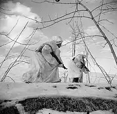
The British Army in Italy 1945 NA21748
- The Castle, built from 1389. It was destroyed in 1501 by duke Cesare Borgia, together with the walls. The latter were rebuilt by the Papal forces in 1504. Of the castle, today parts of the walls and a tower survive.
- Civic Museum
- Biblioteca Libertaria Armando Borghi
- Church of San Sebastiano (1506).
- Church of San Francesco (18th century), including a statue attributed to Jacopo della Quercia, a 15th-century wooden crucifix and paintings by Giovan Battista Bertucci il Giovane and Ferraù Fenzoni.
- Church of San Pietro Apostolo
- Church of San Petronio
- Church of Santa Maria della Pace
Transport
Rail
The railway station is called Castel Bolognese–Riolo Terme. It is on the railway line connecting Bologna to Ancona.
Roads
Castel Bolognese can be reached through the A14 motorway which is the Italian part of the E45 European Route, by taking the exit Imola (coming from the North) or Faenza (coming from the South).
Demographic evolution

References
- "Superficie di Comuni Province e Regioni italiane al 9 ottobre 2011". Italian National Institute of Statistics. Retrieved 16 March 2019.
- All demographics and other statistics: Italian statistical institute Istat.
External links
 | ||
This article is issued from Wikipedia. The text is licensed under Creative Commons - Attribution - Sharealike. Additional terms may apply for the media files.