Central Colorado Regional Airport
Central Colorado Regional Airport (ICAO: KAEJ, FAA LID: AEJ) is a public-use airport located 2 mi (3.2 km) south of Buena Vista, Colorado, United States.[1]
Central Colorado Regional Airport | |||||||||||
|---|---|---|---|---|---|---|---|---|---|---|---|
| Summary | |||||||||||
| Airport type | Public | ||||||||||
| Owner | Town of Buena Vista | ||||||||||
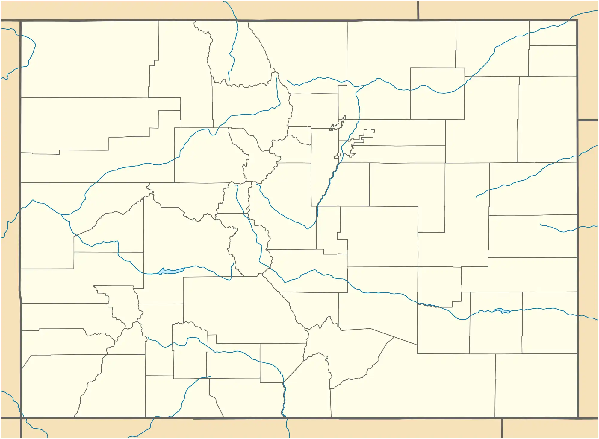
| Location | Buena Vista, Colorado | ||||||||||
| Opened | January 5, 1964 | ||||||||||
| Elevation AMSL | 7,950 ft / 2,423.16 m | ||||||||||
| Coordinates | 38°48′52″N 106°07′14″W | ||||||||||
| Website | http://www.buenavistaairport.com/ | ||||||||||
| Map | |||||||||||
 Central Colorado Regional Airport | |||||||||||
| Runways | |||||||||||
| |||||||||||
Although most U.S. airports use the same three-letter location identifier for the FAA, ICAO and IATA, Central Colorado Regional Airport is assigned AEJ by the FAA and KAEJ by the ICAO but has no designation from the IATA.[2]
Facilities
Central Colorado Regional Airport covers an area of 235 acres (95 ha) which contains one asphalt paved runway (15/33) measuring 8,303 ft × 75 ft (2,531 m × 23 m).[1]
References
- FAA Airport Form 5010 for AEJ PDF, effective 2007-07-05
- Great Circle Mapper: AEJ - Buena Vista, Colorado
External links
- Resources for this airport:
- FAA airport information for AEJ
- AirNav airport information for AEJ
- FlightAware airport information and live flight tracker
- SkyVector aeronautical chart for AEJ
This article is issued from Wikipedia. The text is licensed under Creative Commons - Attribution - Sharealike. Additional terms may apply for the media files.