Cerro Pajonales
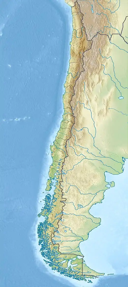
Cerro Pajonales is a peak in Chile[5] with an elevation of 5,958 metres (19,547 ft) metres.[6] Pajonales is within the following mountain ranges: Chilean Andes, Puna de Atacama. It is on the border of 2 provinces: Chilean provinces of El Loa and Antofagasta. Its slopes are within the administrative boundaries of the2 cities: Chilean cities of San Pedro de Atacama and Antofagasta.[7]
| Pajonales | |
|---|---|
 Pajonales Chile | |
| Highest point | |
| Elevation | 5,958 m (19,547 ft) |
| Prominence | 461[1] m (1,512 ft) |
| Parent peak | Pular |
| Coordinates | 24°14′15.72″S 068°7′04.08″W |
| Geography | |
| Parent range | Chilean Andes, Andes |
| Climbing | |
| First ascent | 02/10/1996 - José Martínez Hernández, Ricardo Artalejo, Luis Bernardo Durand, Eduardo Ruiz (Spain)[2][3][4] |
First Ascent
Pajonales was first climbed by José Martínez Hernández, Ricardo Artalejo, Luis Bernardo Durand, Eduardo Ruiz (Spain) in 02/10/1996.[8][9][10] During the first ascent by the Spanish, they found a metal bar on the summit, so the first modern ascent of Pajonales is unknown. This is probably by topographers or miners - Research by Guillermo Almaraz.
Elevation
Other data from available digital elevation models: ASTER filled 5935 metres,[11] ALOS metres,[12] TanDEM-X 5980 metres,[13] The height of the nearest key col is 5497 meters, leading to a topographic prominence of 461 meters.[14] Pajonales is considered a Mountain according to the Dominance System [15] and its dominance is 7.74%. Its parent peak is Pular and the Topographic isolation is 6.6 kilometers.[16]
References
- "Pajonales". Andes Specialists. Retrieved 2020-04-12.
- José Martínez Hernández (2006). Por las Montañas del Mundo.
- Jose Martínez Hernández (1997). "AAJ (American Alpine Journal)". AAJ (American Alpine Journal).
- "Personal report José Martinez H.". Personal report José Martinez H.
- Biggar, John (2020). The Andes a guide for climbers (5th ed.). Castle Douglas, Scotland. ISBN 978-0-9536087-7-5. OCLC 1260820889.
{{cite book}}: CS1 maint: location missing publisher (link) - rbenavente. "Biblioteca del Congreso Nacional | SIIT | Mapas vectoriales". bcn.cl. Retrieved 2020-04-30.
- rbenavente. "Biblioteca del Congreso Nacional | SIIT | Mapas vectoriales". bcn.cl. Retrieved 2020-04-30.
- José Martínez Hernández (2006). Por las Montañas del Mundo.
- Jose Martínez Hernández (1997). "AAJ (American Alpine Journal)". AAJ (American Alpine Journal).
- "Personal report José Martinez H.". Personal report José Martinez H.
- "MADAS(METI AIST Data Archive System)". Retrieved 2020-04-14.
- "ALOS GDEM Project". ALOS EORC Jax Japan. Archived from the original on 2015-07-21. Retrieved 2020-04-14.
- TanDEM-X, TerraSAR-X. "Copernicus Space Component Data Access". Retrieved 12 April 2020.
- "Pajonales". Andes Specialists. Retrieved 2020-04-12.
- "Dominance - Page 2". www.8000ers.com. Retrieved 2020-04-12.
- "Pajonales". Andes Specialists. Retrieved 2020-04-12.