Chūrui, Hokkaido
Chūrui (忠類村, Chūrui-mura) was a village located in Hiroo District, Tokachi Subprefecture, Hokkaido, Japan.
Chūrui
忠類村 | |
|---|---|
 Flag  Emblem | |
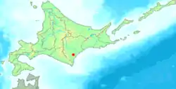 Location of Chūrui in Hokkaido (Tokachi Subprefecture) | |
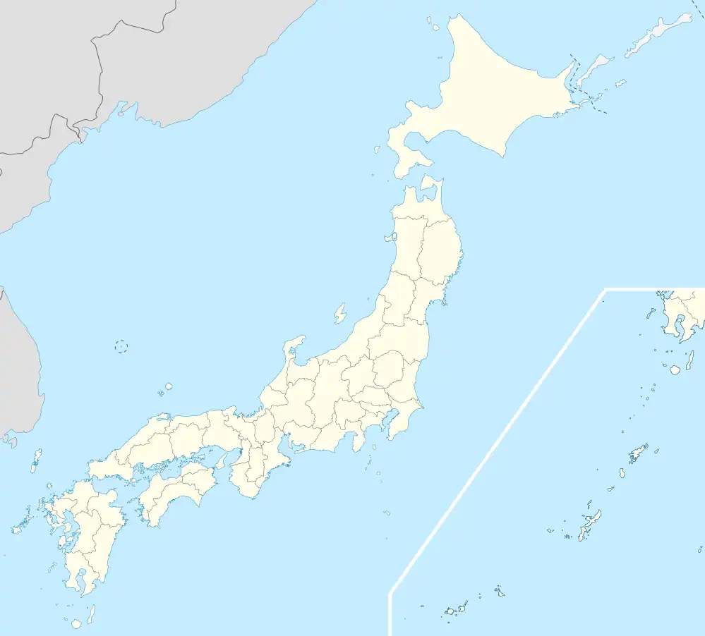 Chūrui Location in Japan | |
| Coordinates: 42°34′N 143°18′E | |
| Country | Japan |
| Region | Hokkaido |
| Prefecture | Hokkaido (Tokachi Subprefecture) |
| Now part of Makubetsu | February 6, 2006 |
| Area | |
| • Total | 137.54 km2 (53.10 sq mi) |
| Population (2004) | |
| • Total | 1,802 |
| • Density | 13.10/km2 (33.9/sq mi) |
| Time zone | UTC+09:00 (JST) |
| City hall address | 439-1 Churui, Churui-mura, Hiroo-gun, Hokkaido 089-1795 |
| Website | web |
| Symbols | |
| Flower | Phlox subulata |
| Tree | Betula platyphylla |
As of 2004, the village had an estimated population of 1,802 and a density of 13.10 persons per km2. The total area was 137.54 km2.
On February 6, 2006, Chūrui was merged into the expanded town of Makubetsu (in Nakagawa (Tokachi) District).
This article is issued from Wikipedia. The text is licensed under Creative Commons - Attribution - Sharealike. Additional terms may apply for the media files.